Stake attention in this memory
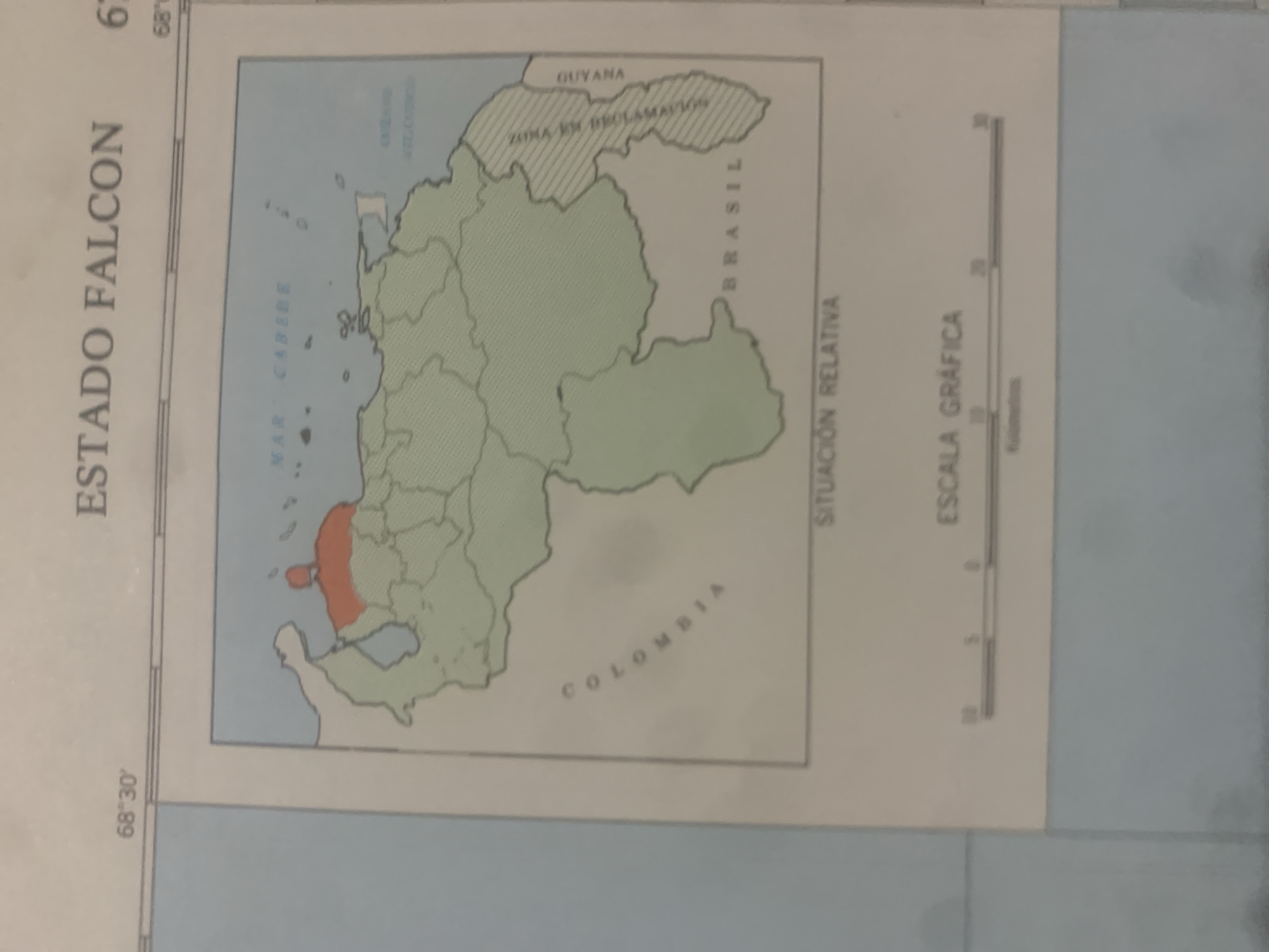
This media file is a map of "ESTADO FALCON" (Falcon State) in Venezuela, specifically highlighting its location relative to neighboring countries and bodies of water. The map shows the political boundaries of Falcon State, which is colored green, with a portion along the coast colored in orange. Surrounding bodies of water include the "MAR CARIBE" (Caribbean Sea). Neighboring regions indicated on the map are "COLOMBIA" to the southwest, "BRASIL" to the southeast, and "GUYANA" to the east. A hatched area labeled "ZONA EN RECLAMACIÓN" (Zone in dispute) is shown bordering Guyana. The map also includes a "SITUACIÓN RELATIVA" (Relative Situation) label and a "ESCALA GRÁFICA" (Graphical Scale) indicating distances in kilometers. Visible text includes coordinate information "68°30'" and "68°89'". The image appears to be a photograph of a printed map, possibly from an atlas or textbook, with some slight glare or shadow obscuring parts of the image. There are no people or activities depicted, and the focus is purely on geographical information. The time of day and weather are not discernible.
Symbol
BEF68
Volume
0
Creator
+$0.03
Revenue
+$0.00
TVL
$0.00
Loading AttnAds…

2

Rev Bot 🤖💰
Injected revenue 2mo ago
“Revenue bonus for the last stake.”
+$0.05 USD





