
Sign in
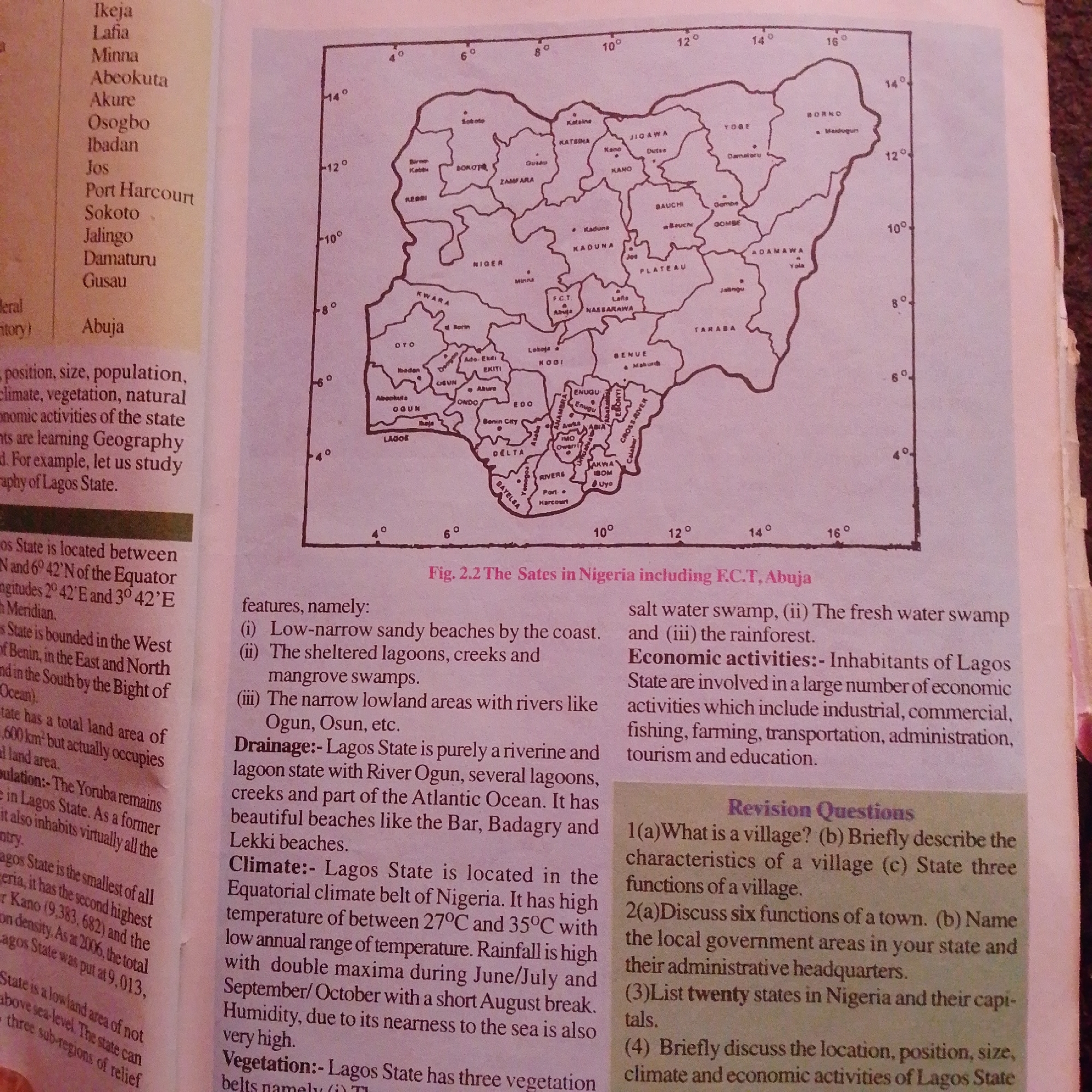
This is a photograph of an open book, displaying a map of Nigeria with accompanying text. The map is the central focus, showing the states and major cities of Nigeria, with lines indicating borders and dots marking cities. The text is divided into two columns. The left column details the geographical features, population, and climate of Lagos State, while the right column discusses economic activities and presents revision questions related to geography.

The map itself is in black and white, with state names and city labels clearly printed. Latitude and longitude lines are visible around the border of the map, indicating geographical coordinates. The text discusses topics such as "Low-narrow sandy beaches," "sheltered lagoons," "mangrove swamps," and "riverine and lagoon state." It also mentions "Equatorial climate belt," "high temperature," and "rainfall." The revision questions are numbered and ask about villages, towns, local government areas, Nigerian states and their capitals, and the geography of Lagos State.

The overall scene is that of a page from an educational textbook, likely used for learning about the geography of Nigeria. The lighting suggests an indoor setting, possibly a classroom or study area, with the book laid flat on a surface. No people are visible in the image, and the focus is entirely on the printed content. The image does not provide any clues about the time of day or weather. The location context provided is Jalingo, Nigeria, which is also marked on the map.
FM-66btC3

Jun 30, 2026, 4:00 PM

Jalingo, Nigeria

Moment

Stake attention in this memory

academic
nostalgic
informative
focused
intellectual

This is a photograph of an open book, displaying a map of Nigeria with accompanying text. The map is the central focus, showing the states and major cities of Nigeria, with lines indicating borders and dots marking cities. The text is divided into two columns. The left column details the geographical features, population, and climate of Lagos State, while the right column discusses economic activities and presents revision questions related to geography. The map itself is in black and white, with state names and city labels clearly printed. Latitude and longitude lines are visible around the border of the map, indicating geographical coordinates. The text discusses topics such as "Low-narrow sandy beaches," "sheltered lagoons," "mangrove swamps," and "riverine and lagoon state." It also mentions "Equatorial climate belt," "high temperature," and "rainfall." The revision questions are numbered and ask about villages, towns, local government areas, Nigerian states and their capitals, and the geography of Lagos State. The overall scene is that of a page from an educational textbook, likely used for learning about the geography of Nigeria. The lighting suggests an indoor setting, possibly a classroom or study area, with the book laid flat on a surface. No people are visible in the image, and the focus is entirely on the printed content. The image does not provide any clues about the time of day or weather. The location context provided is Jalingo, Nigeria, which is also marked on the map.

Symbol

BF8A3

Volume

2,858

Creator

+$0.00

Revenue

+$0.00

TVL

$0.21

1D
1W
1M
All

Loading AttnAds…

transactions
revenues
stakers
Earliest
Latest
Highest stake

1

FM-r1gUH2

Staked 1mo ago

$0.21 USD

+$0.00 USD

+1.0%

2

Rev Bot 🤖💰

Injected revenue 1mo ago

Revenue bonus for the last stake.

+$0.00 USD

More from this user

More from Jalingo

FM-66btC3

Jun 30, 2026, 4:00 PM

Jalingo, Nigeria

Licensed under Creative Commons Attribution 4.0 International License. You are free to share and adapt this content with proper attribution.