Stake attention in this memory
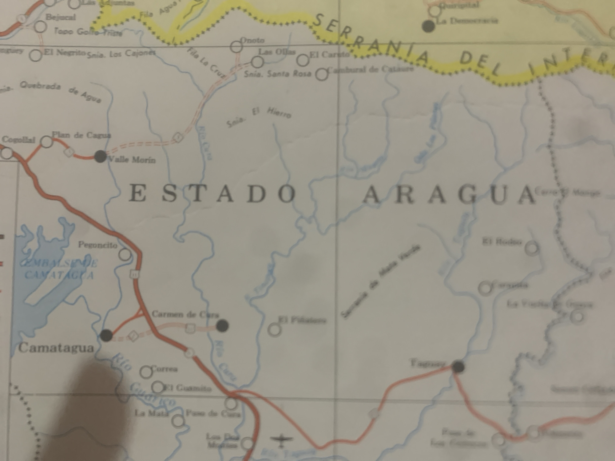
This is a photograph of a section of a map, likely from a Venezuelan atlas or guidebook, focusing on the state of Aragua. The map depicts geographical features such as rivers (Rio Aragua, Rio Cura, Rio Tepa), mountain ranges (Serranía del Interior), and a dam (Embalse de Camatagua). Various towns and settlements are marked with circles and text, including Bejucal, El Negrito, Valle Morín, Cogollal, Camatagua, Carmen de Cura, El Rodeo, and Taguay. Roads are shown as red lines, indicating connectivity between these locations. A small airplane symbol suggests a local airstrip. The overall tone of the map is informative and functional, aiming to guide travelers or provide geographical context. The map is in color, with blue for water, red for roads, and yellow for a mountainous border region. Some areas are faded or slightly out of focus, typical of an older map or a photograph taken in less than ideal lighting conditions. The text is in Spanish.
Symbol
BFA1E
Volume
0
Creator
+$0.14
Revenue
+$0.00
TVL
$0.00
2
Rev Bot 🤖💰
Injected revenue 6d ago
“Revenue bonus for the last stake.”
+$0.29 USD