Stake attention in this memory
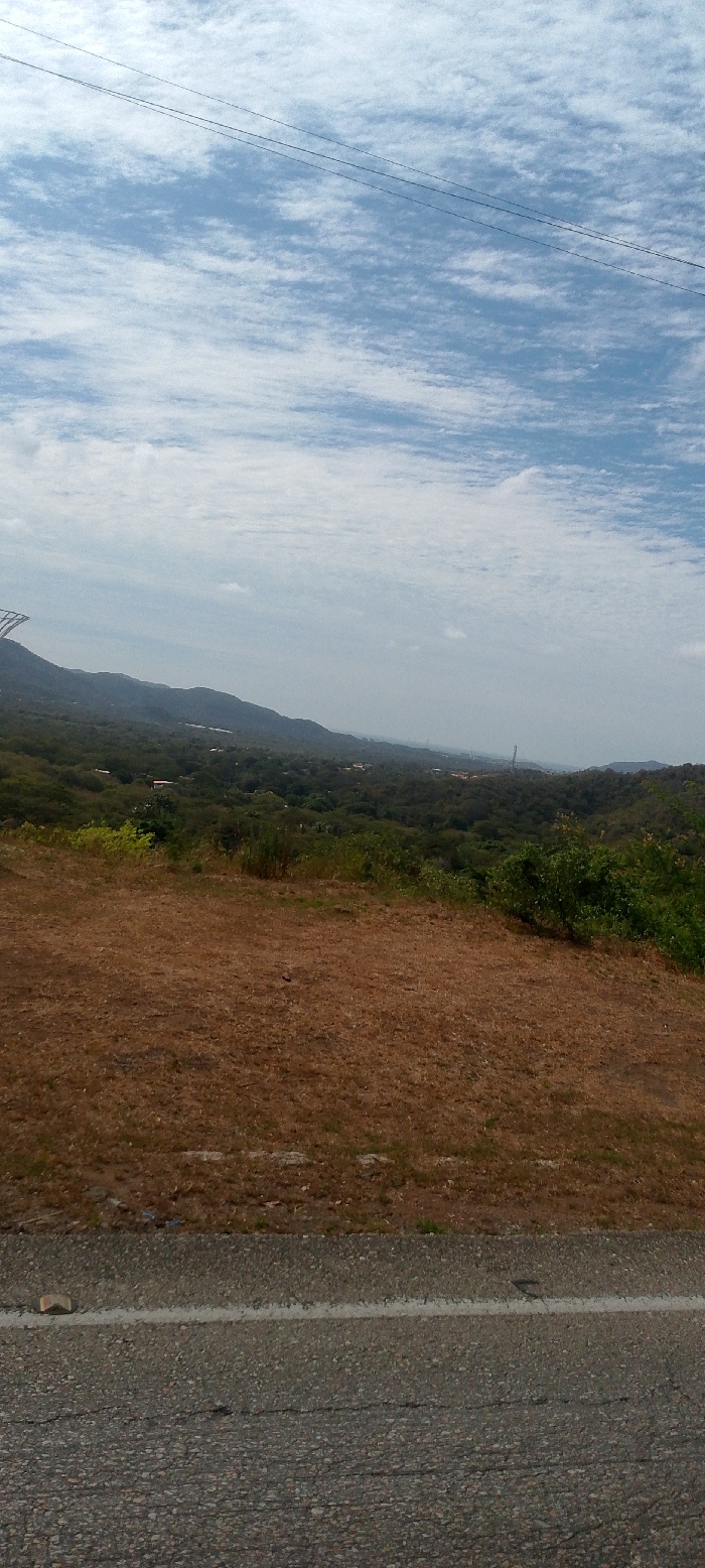
The image displays a panoramic landscape view, likely captured from a roadside vantage point overlooking a valley and distant city, identified as La Asuncion, Venezuela. In the foreground, the bottom approximately 10-15% of the frame is occupied by a grey asphalt road exhibiting surface cracks. A faded white line runs along the top edge of the road, and a small, light-colored, angular object (possibly a stone or concrete fragment) rests on the road near the lower-left corner. Above the road, a dry, brown, sparsely vegetated embankment or shoulder extends upwards, transitioning into denser, greener foliage further into the midground. The midground features rolling hills and elevated terrain covered in varied green vegetation, including shrubs and trees. Within this vegetated expanse, particularly towards the right side, individual structures and residential areas of a distant settlement are discernible, consistent with the urban periphery of La Asuncion. A tall, dark lattice-structured utility tower is visible on the far left, partially obscured by the hill, and another slender, dark communication tower-like structure stands in the right-middle distance. The background consists of successive layers of mountains or hills, gradually fading into a hazy horizon. The uppermost approximately 40% of the image is clear blue sky with widespread, scattered white altocumulus or cirrocumulus clouds. Two distinct thin, dark linear elements, identified as utility wires or power lines, traverse the upper-mid section of the sky, angled slightly downwards from left to right. No individuals or specific actions are observed within the scene.
Loading AttnAds…
No transactions found