Stake attention in this memory
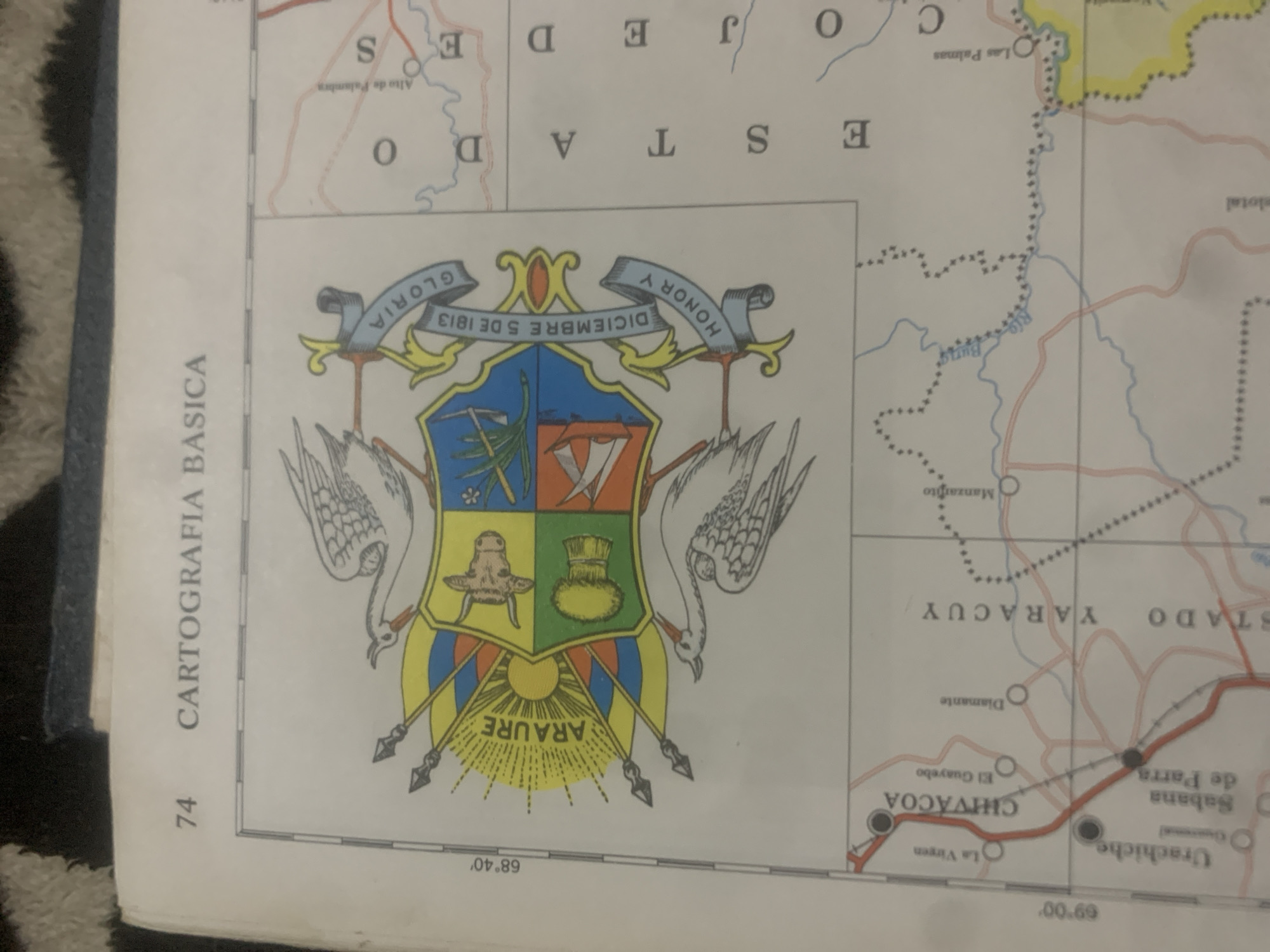
The image displays a page from an atlas, featuring a map section and text. At the top, the number "74" is visible, followed by the text "CARTOGRAFIA BASICA". The central part of the image is dominated by a coat of arms, featuring a shield divided into four sections with various symbols, flanked by birds and banners. The banners bear inscriptions such as "GLORIA", "DICIEMBRE 5 DE 1813", and "HONOR Y". To the left of the coat of arms, a geographical coordinate "68° 40'" is indicated. Below this, a map section shows several place names including "La Virgen", "CHIVACOA", "El Guayabo", "Urachiche", "Sabana de Parra", "Diamante", "ESTADO YARACUY", "Manzanillo", and the "Rio Buria". The map also depicts roads and rivers, with a yellow-highlighted area to the south-east. On the right side of the map, vertical text reads "ESTADO". While the image shows a map of Venezuela and contains place names like Chivacoa and Urachiche, it does not specifically depict or mention the city of La Tagua. Therefore, it's not possible to provide details about La Tagua's location within this image. The overall scene is of a printed document, likely a book or atlas.
Loading AttnAds…
No transactions found





