
Sign in
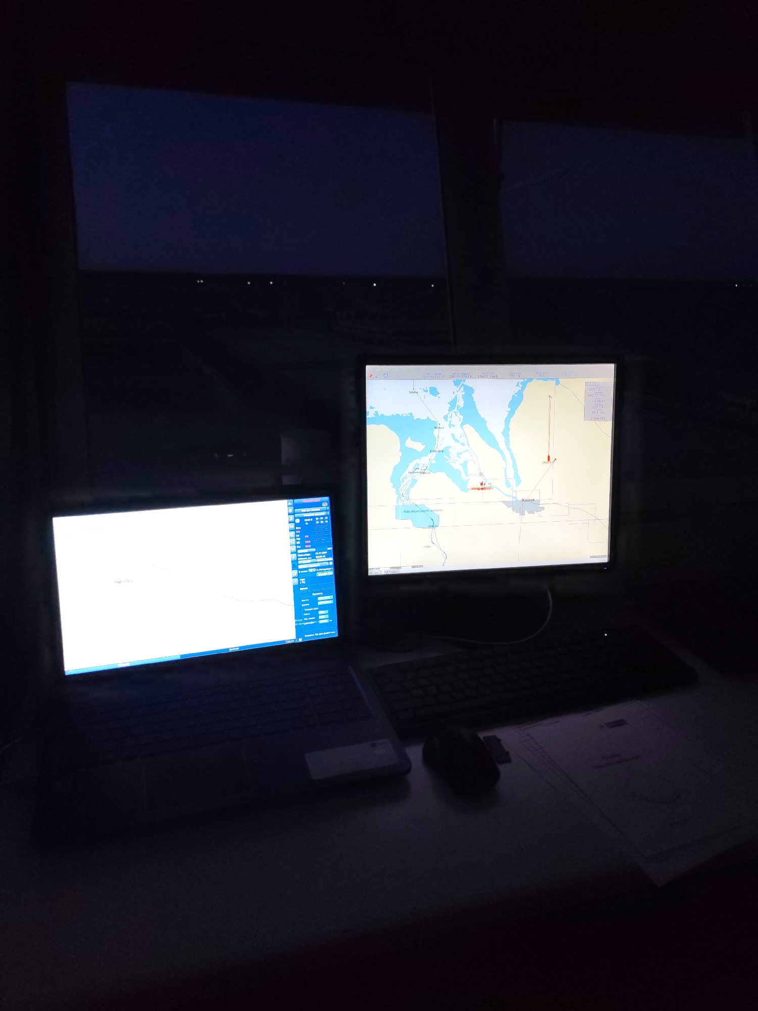
The media file depicts a workstation in a dimly lit room, likely at night or in low light conditions. The scene is dominated by the glowing screens of two computers.

On the left, a laptop displays a bright, predominantly white screen with what appears to be a data interface or chart, featuring blue panels and some Russian text on the right side. To the right of the laptop, a desktop monitor shows a detailed map, likely a nautical chart or navigational system. The map features light blue areas representing water and off-white landmasses, with place names such as "Rybinsk" and "Tutayev" visible. A prominent red line or path is drawn across the water, possibly indicating a route, and a red icon with the label "ORLOV" suggests a vessel or waypoint. The map's details, including the large body of water, are consistent with the Rybinsk Reservoir area in Yaroslavl Oblast, Russia, near Bol'shie Mkhi.

Below the monitor are a black computer keyboard and a black mouse. To the right of the mouse, several sheets of paper with faint text and diagrams are visible on the desk. Two large, dark screens or windows are visible in the background, reflecting some light from the computer displays.

The visible text includes coordinates and navigational data: "58°09.6190 N 38°59.5500 E" and "10.01 kn" (likely knots for speed) on the laptop screen, and "65°07.8514 N 038°30.1087 E," "2.50 T" (possibly bearing), and "19.8 m" (likely depth or distance) in a box on the monitor. The activity appears to be professional monitoring or navigation, possibly onboard a vessel, given the navigational charts and data displayed. The overall impression is one of focused operational work in a dark environment.
AndreyRiverMaster

Apr 20, 2026, 5:46 PM

Bol'shie Mkhi, Russia

Stake attention in this memory

untagged

The media file depicts a workstation in a dimly lit room, likely at night or in low light conditions. The scene is dominated by the glowing screens of two computers. On the left, a laptop displays a bright, predominantly white screen with what appears to be a data interface or chart, featuring blue panels and some Russian text on the right side. To the right of the laptop, a desktop monitor shows a detailed map, likely a nautical chart or navigational system. The map features light blue areas representing water and off-white landmasses, with place names such as "Rybinsk" and "Tutayev" visible. A prominent red line or path is drawn across the water, possibly indicating a route, and a red icon with the label "ORLOV" suggests a vessel or waypoint. The map's details, including the large body of water, are consistent with the Rybinsk Reservoir area in Yaroslavl Oblast, Russia, near Bol'shie Mkhi. Below the monitor are a black computer keyboard and a black mouse. To the right of the mouse, several sheets of paper with faint text and diagrams are visible on the desk. Two large, dark screens or windows are visible in the background, reflecting some light from the computer displays. The visible text includes coordinates and navigational data: "58°09.6190 N 38°59.5500 E" and "10.01 kn" (likely knots for speed) on the laptop screen, and "65°07.8514 N 038°30.1087 E," "2.50 T" (possibly bearing), and "19.8 m" (likely depth or distance) in a box on the monitor. The activity appears to be professional monitoring or navigation, possibly onboard a vessel, given the navigational charts and data displayed. The overall impression is one of focused operational work in a dark environment.

Loading AttnAds…

transactions
revenues
stakers
Earliest
Latest
Highest stake

No transactions found

More from this user

More from Bol'shie Mkhi

AndreyRiverMaster

Apr 20, 2026, 5:46 PM

Bol'shie Mkhi, Russia

Licensed under Creative Commons Attribution 4.0 International License. You are free to share and adapt this content with proper attribution.