Stake attention in this memory
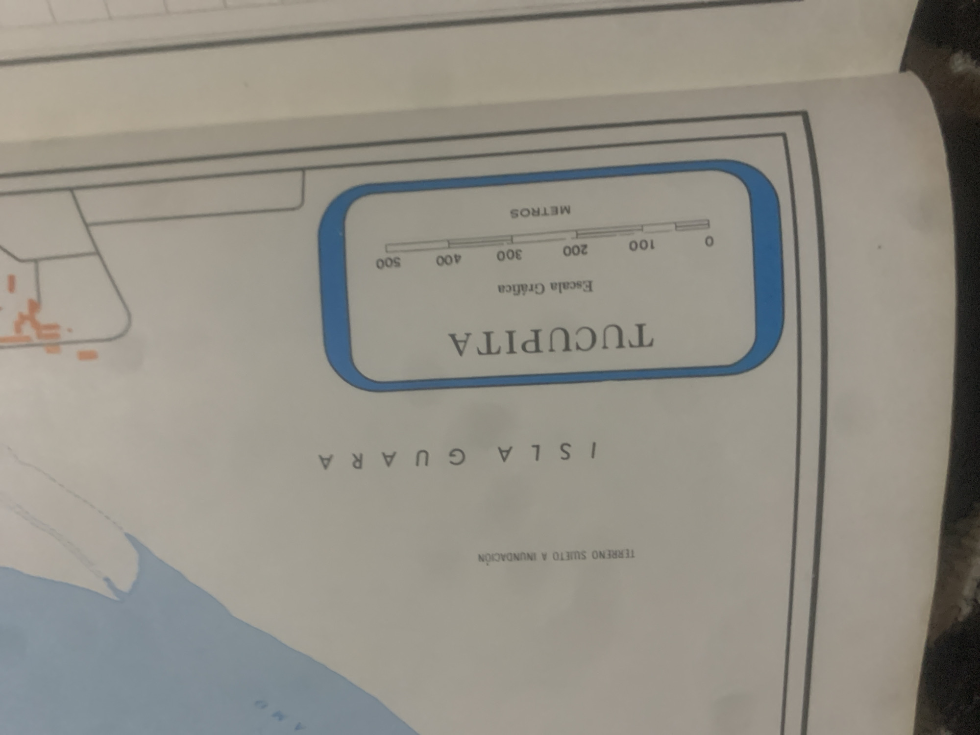
This is a close-up shot of a map, likely part of a document or atlas. The map is tilted, with the top of the image showing a portion of a landscape with some orange structures that might represent buildings or landmarks. A blue-lined rectangular box contains a graphic scale labeled "METROS" (meters) with markings for 0, 100, 200, 300, 400, and 500. Below the scale, text reads "Escala Gráfica" (Graphic Scale). Inside the blue box, the word "TUCUPITA" is prominently displayed. Below this box, more text is visible, oriented sideways. It reads "ISLA GUARA" (Guara Island) and "TERRENO SUJETO A INUNDACIÓN" (Land Subject to Flooding). A light blue area at the bottom suggests a body of water, possibly a river or the sea, with some faint lines or textures on it. Another partially visible word, "AMO," is also present near the water. The overall impression is that this is a cartographic representation of a geographical area, likely related to flood risk assessment or planning in the region of Tucupita and Isla Guara, within La Tagua, Venezuela. There are no people or animals visible. The lighting suggests an indoor setting, possibly with overhead lighting.
Symbol
C1679
Volume
11,550
Creator
+$0.03
Revenue
+$0.04
TVL
$2.39
Loading AttnAds…

2

Rev Bot 🤖💰
Injected revenue 2mo ago
“Revenue bonus for the last stake.”
+$0.04 USD





