Stake attention in this memory
Technological
Remote
Rural
Isolated
Connectivity
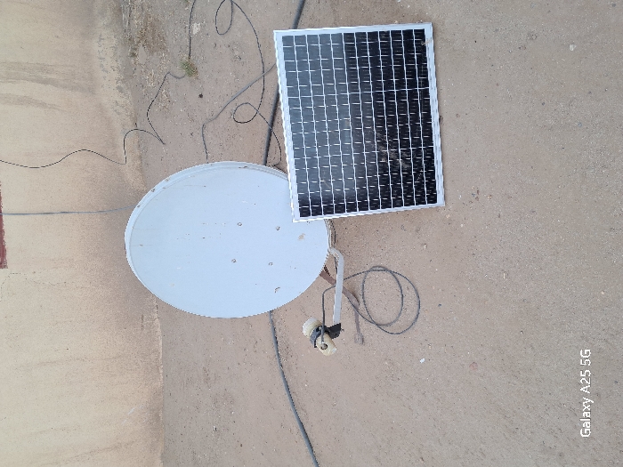
The image shows a satellite dish and a solar panel lying on a dirt ground in front of a white wall. The satellite dish is white and circular, tilted to the right, while the solar panel is black and rectangular. The satellite dish is connected to the solar panel by a black cable. There are a few other black cables in the image, lying on the ground. The image is taken from a slightly elevated angle, and the ground is dry and dusty. The scene is situated in Samareit, Sudan, at the coordinates 18.376 latitude and 31.755 longitude.
transactions
revenues
stakers
Earliest
Latest
Highest stake
No transactions found