
Stake attention in this memory
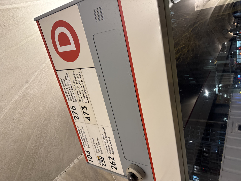
The image displays a close-up, angled view of a bus stop information sign, characteristic of the Transport for London (TfL) network in London, United Kingdom. The sign is white and grey with red trim, prominently featuring a large red circle with a white 'D' at the top, indicating a specific bus stop. The sign lists several bus routes and their respective destinations. On the left column, route **104** serves "Upton Park Station," "Lonsdale Avenue," and "Beckton Bus Station." Route **238** travels to "Plashet Grove," "East Ham," and "Barking Station." Route **262** includes "Plaistow Station," "Newham Uni Hospital," and "Gallions Reach." In the right column, route **276** lists destinations such as "West Ham Station," "Star Lane Station," "Plaistow Police Stn," and "Newham Uni Hospital." Route **473** goes to "Plaistow Station," "Newham Uni Hospital," "London City Airport," and "North Woolwich Ferry." A small dome-shaped security camera is visible at the bottom of the sign. The right side of the image shows a reflection in a glass surface, likely a window, revealing blurred lights and structures of an urban environment, suggesting the picture was taken at night or during the late evening. The ground beneath the sign appears to be light-colored paving. The destinations listed confirm the location within East London.
Loading AttnAds…
No transactions found