
Stake attention in this memory
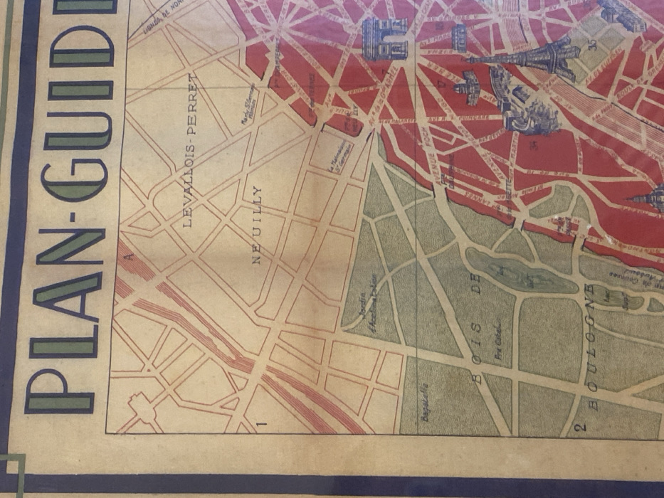
map
Paris
Neuilly
Levallois-Perret
Bois de Boulogne
The image shows a section of a vintage map, labeled "PLAN-GUIDE" vertically. It depicts the areas of Levallois-Perret and Neuilly. A park with "BOIS DE BOULOGNE" is featured, with landmarks like "Bagatelle" and "Jordin d'Acclimatation" marked within. Avenues such as "Av. de la Grande Armée" and "AVENUE FOCH" are labeled. The map also shows "La Malmaison" and identifies a "Marly Ger." near it. Numbers such as "1," "2," and "35" are on the map.
Loading AttnAds…
transactions
revenues
stakers
Earliest
Latest
Highest stake
No transactions found