Sign in
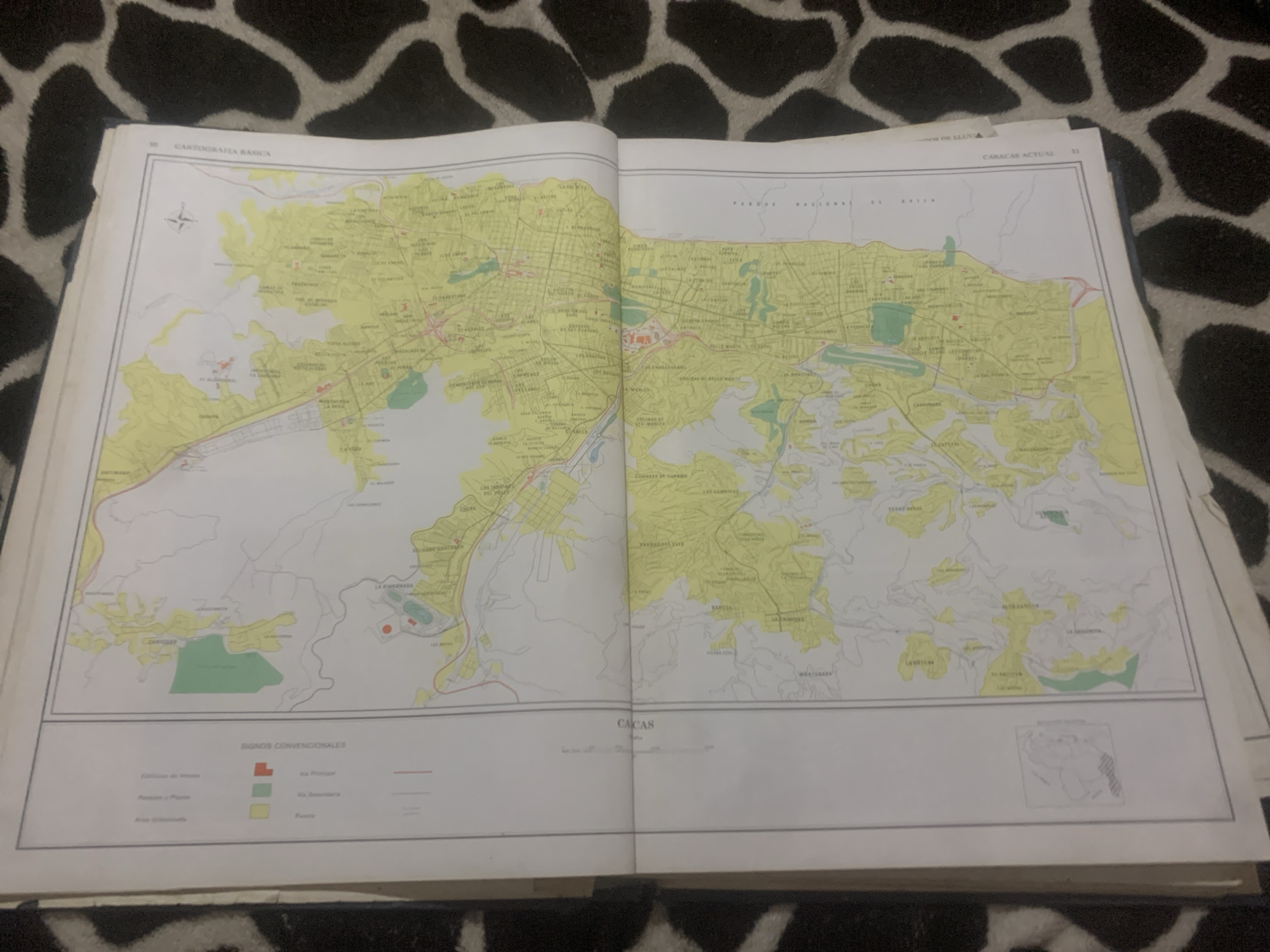
This is a media file showing an open book with a map of Caracas, Venezuela. The map is detailed, depicting various geographical features, urban areas, and infrastructure. The map is in color, with different shades of green and yellow indicating various zones, and red and gray lines representing roads and highways. There are also symbols and text in Spanish on the map, labeling different locations and features. The book is lying open on a dark background with a pattern that resembles animal fur or camouflage.

Visible text includes "CARTOGRAFIA BASICA", "CARACAS ACTUAL", and "SIGNOS CONVENCIONALES". Under "SIGNOS CONVENCIONALES", there are labels like "Zonas de Viento", "Areas Verdes", and "Via Principal", "Via Secundario", "Pueblo", and "Via Ferrocarril". A small inset map in the lower right corner of the right page shows a stylized representation of South America with a highlighted area. The overall scene suggests an educational or informational context, possibly related to geography, urban planning, or history. There are no people visible in the image. The lighting suggests it might be indoors, under artificial light. There are no clear indicators of the time of day or weather conditions.
bombolico

Jun 25, 2026, 2:12 PM

La Tagua, Venezuela

Short Term

Stake attention in this memory

nostalgic
analytical
studious
contemplative
curious

This is a media file showing an open book with a map of Caracas, Venezuela. The map is detailed, depicting various geographical features, urban areas, and infrastructure. The map is in color, with different shades of green and yellow indicating various zones, and red and gray lines representing roads and highways. There are also symbols and text in Spanish on the map, labeling different locations and features. The book is lying open on a dark background with a pattern that resembles animal fur or camouflage. Visible text includes "CARTOGRAFIA BASICA", "CARACAS ACTUAL", and "SIGNOS CONVENCIONALES". Under "SIGNOS CONVENCIONALES", there are labels like "Zonas de Viento", "Areas Verdes", and "Via Principal", "Via Secundario", "Pueblo", and "Via Ferrocarril". A small inset map in the lower right corner of the right page shows a stylized representation of South America with a highlighted area. The overall scene suggests an educational or informational context, possibly related to geography, urban planning, or history. There are no people visible in the image. The lighting suggests it might be indoors, under artificial light. There are no clear indicators of the time of day or weather conditions.

Symbol

C5E1B

Volume

11,550

Creator

+$0.08

Revenue

+$0.11

TVL

$6.72

1D
1W
1M
All

Loading AttnAds…

transactions
revenues
stakers
Earliest
Latest
Highest stake

1

Katy

Staked 11d ago

$6.68 USD

+$0.05 USD

+0.7%

2

Rev Bot 🤖💰

Injected revenue 11d ago

Revenue bonus for the last stake.

+$0.13 USD

More from this user

More from La Tagua

bombolico

Jun 25, 2026, 2:12 PM

La Tagua, Venezuela

Licensed under Creative Commons Attribution 4.0 International License. You are free to share and adapt this content with proper attribution.





