Stake attention in this memory
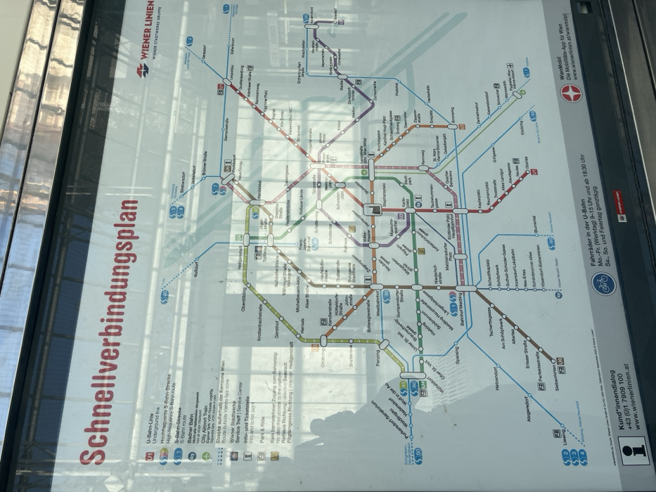
The image shows a public transportation map displayed on a glass panel at a public transit station in Wien, Austria, at latitude 48.197, longitude 16.339. The map depicts various subway lines, both U-Bahn and S-Bahn, with colored lines representing different routes and the names of stations printed along the lines. The map also displays relevant information for riders, including a bicycle icon with information about bicycle transport on the U-Bahn, a customer service phone number, and a website address. The map also shows the location of the station relative to other stations and their proximity to the city center. The map is displayed on a glass panel with a reflective surface and the reflections of the surrounding environment are visible on the glass. The glass panel is attached to a larger structure, which could be the side of a public transit station or a building near a station.
No transactions found