Stake attention in this memory
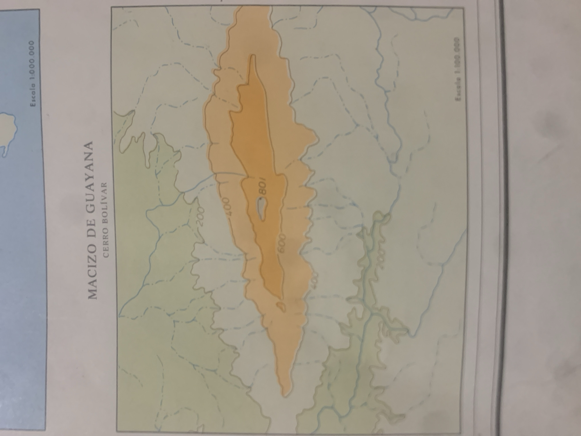
The media file displays a map of the Macizo de Guayana, specifically highlighting Cerro Bolívar. The map uses contour lines to depict elevation, with a prominent orange-shaded area representing a peak, labeled with a maximum elevation of 801 meters. Contour lines for 200, 400, and 600 meters are also visible. The map includes representations of rivers and streams. Text on the map identifies the region as "MACIZO DE GUAYANA" and the specific peak as "CERRO BOLÍVAR". Scale bars are provided, indicating "Escala 1:000.000" and "Escala 1:100.000". The overall impression is that of a geographical representation of a mountainous area in Venezuela, likely used for educational or navigational purposes. There are no people, animals, or any signs of contemporary activity depicted. The image appears to be a scan or photograph of a printed map, with some light reflection on the surface.
Symbol
C6F42
Volume
0
Creator
+$0.03
Revenue
+$0.00
TVL
$0.00
Loading AttnAds…

2

Rev Bot 🤖💰
Injected revenue 2mo ago
“Revenue bonus for the last stake.”
+$0.06 USD





