
Stake attention in this memory
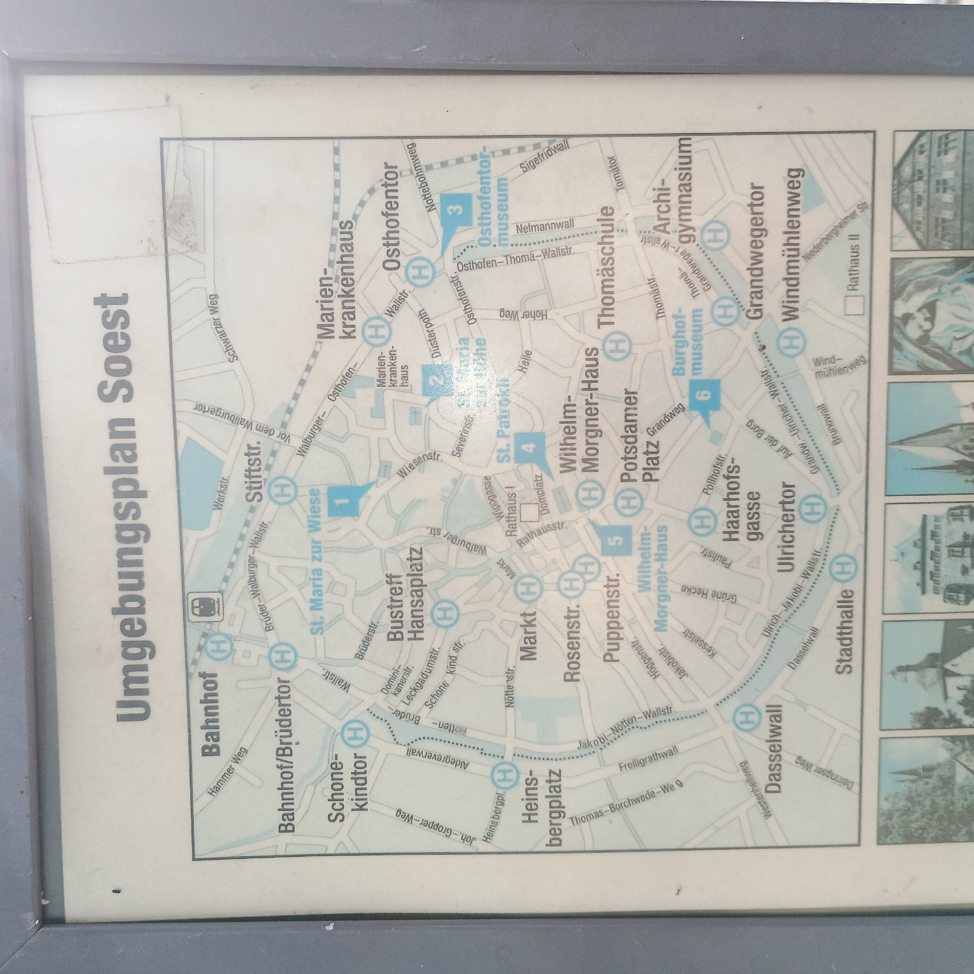
The image is a map of the surrounding area of Soest, Germany, titled "Umgebungsplan Soest". It displays a detailed city map with street names, landmarks, and points of interest marked with blue circles containing the letter 'H', likely indicating parking or transport hubs. The map is enclosed in a gray frame and appears to be mounted outdoors, possibly near a public transportation stop or tourist information point. Several numbered blue squares on the map indicate specific locations: "1. St. Maria zur Wiese", "2. St. Maria zur Höhe", "3. Osthofentor-museum", "4. St. Patrokl", "5. Wilhelm Morgner-Haus", and "6. Burghofmuseum". Below the main map, there are smaller inset images depicting architectural structures, likely historical buildings in Soest. The overall scene is static and informative, serving as a guide for navigating the city and its attractions.
Symbol
C842F
Volume
11,550
Creator
+$0.03
Revenue
+$0.04
TVL
$2.77
Loading AttnAds…

2

Rev Bot 🤖💰
Injected revenue 9h ago
“Revenue bonus for the last stake.”
+$0.04 USD