
Stake attention in this memory
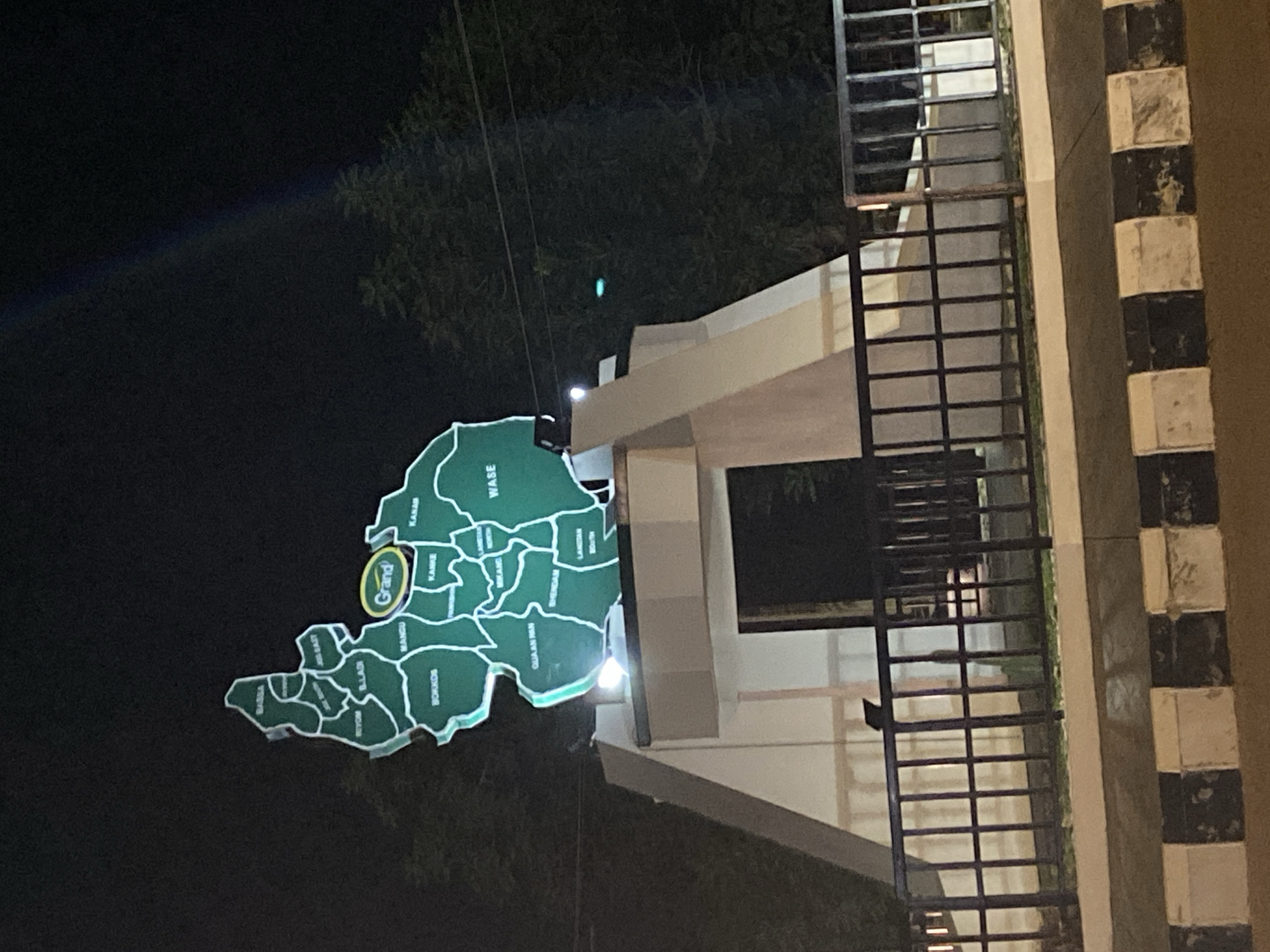
The image depicts a nighttime outdoor scene in Kuru Dungus, Nigeria, featuring a large, illuminated map of a region, likely a state or administrative division, as the central subject. The map is green with white outlines and displays various locality names such as "BASSA", "BOKKOS", "MANGU", "KANKE", "WASÈ", "MIKANG", "QUA'AN PAN", "SHENDAM", "LANGTANG NORTH", "LANGTANG SOUTH", "JOEL EAST", "B'LADI", and "RIYOM". A yellow oval with the word "Grand" in green letters is prominently placed near the center of the map. The map is mounted on a white, angular, multi-tiered structure that serves as a monument or landmark. This structure is illuminated from below by bright white lights, casting a glow on the map and the surrounding area. In the background, dark trees are visible against a black night sky, with a faint blue light streak, possibly from a light source or atmospheric phenomenon, appearing in the upper right quadrant. In the foreground, a black metal fence with vertical bars runs across the image, separating the monument area from a paved road. The road has a distinctive pattern of alternating black and white rectangular blocks at its edge. The overall atmosphere is one of a well-lit, urban landmark at night. There are no people or animals visible in the frame.
Symbol
C91BB
Volume
0
Creator
+$0.03
Revenue
+$0.00
TVL
$0.00
Loading AttnAds…

2

Rev Bot 🤖💰
Injected revenue 27d ago
“Revenue bonus for the last stake.”
+$0.04 USD