Stake attention in this memory
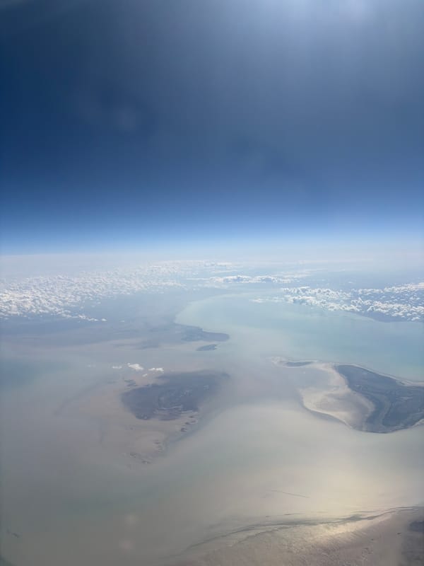
The image shows an aerial view of the Earth, likely taken from high altitude or space. The left side of the image displays the dark blue curvature of the Earth with a thin band of lighter blue representing the upper atmosphere. The majority of the image is filled with a dense layer of puffy, white clouds. The clouds gradually thin out towards the right side of the image, revealing patches of land below. The land appears arid and sparsely vegetated, with varying shades of brown and tan. Given the location of Қосшағыл ауылдық округі, Kazakhstan, it is likely the land visible is part of a desert or semi-desert region. There are no visible signs of human activity or structures on the land.
Symbol
CA426
Volume
10,636
Creator
+$0.02
Revenue
+$0.00
TVL
$2.16
Loading AttnAds…