Sign in
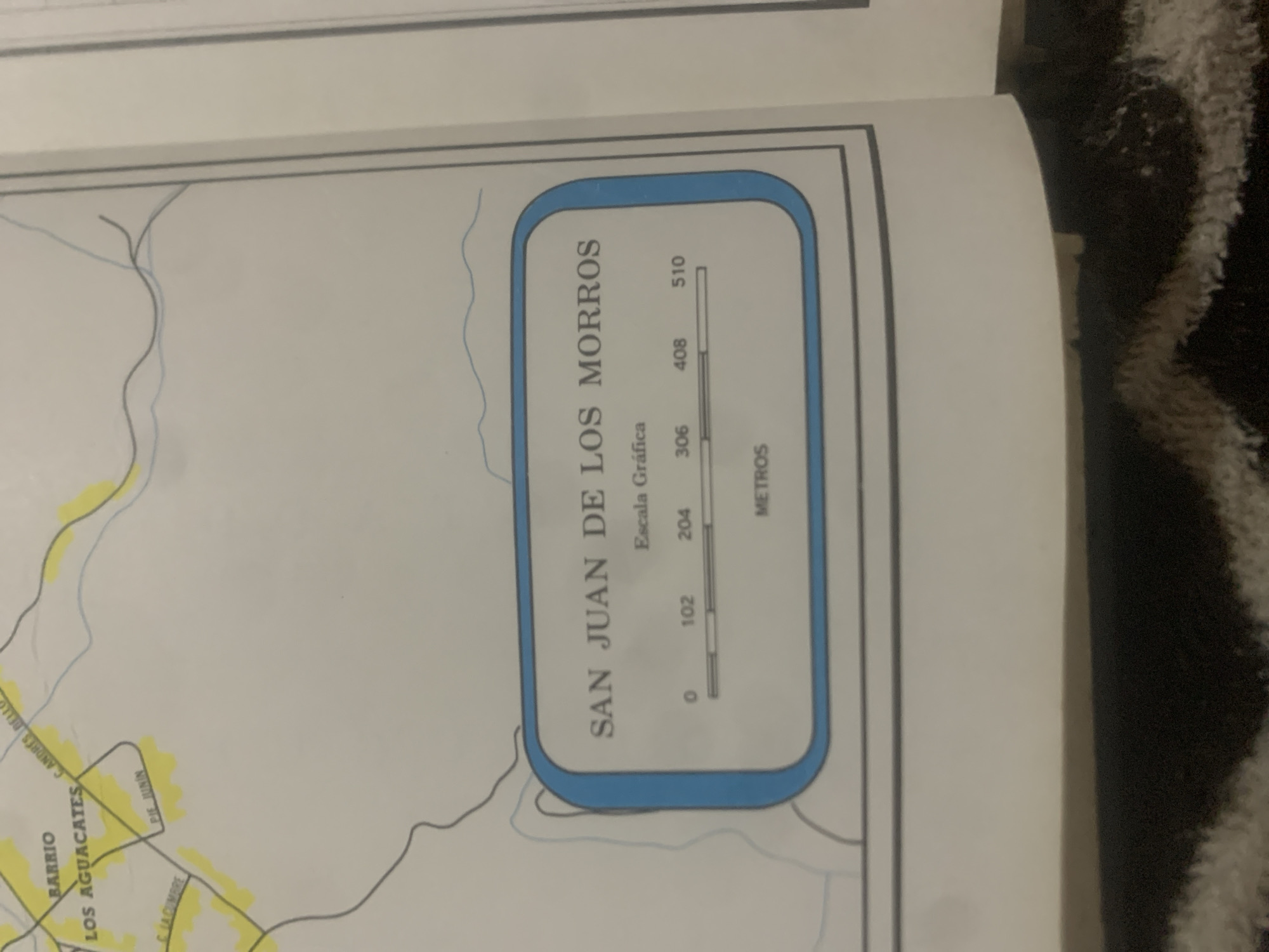
This media file is a close-up, slightly angled shot of a map or diagram, likely from a book or document. The primary visible subject is a detailed map section with several labels and a graphic scale.

The map depicts a geographical area with winding lines representing roads or water features, and some shaded yellow areas that could indicate specific zones or terrain. Several place names are clearly legible in Spanish. These include "BARRIO LOS AGUACATES," "C. ANDRES BELLO," "PIE JUNIN," and "C LA CUMBRE."

A prominent element within the map is a rounded rectangular box containing a graphic scale for "SAN JUAN DE LOS MORROS." This scale is labeled "Escala Gráfica" and shows a bar marked with numerical values in meters: 0, 102, 204, 306, 408, and 510.

The overall scene is a still, indoor shot, with no people or active events visible. The background is largely out of focus, showing a dark, textured surface that appears to be fabric, possibly a rug or blanket. The lighting seems to be from an overhead source, creating a slight glare on the paper. The image composition suggests it's a detail from a larger publication, focusing on a specific map area with its legend. The location context provided (La Tagua, Venezuela) would imply that the map depicts an area relevant to that region.
bombolico

Jun 25, 2026, 2:22 PM

La Tagua, Venezuela

BLOCKED

Stake attention in this memory

nostalgic
analytical
calm
curious
detached

This media file is a close-up, slightly angled shot of a map or diagram, likely from a book or document. The primary visible subject is a detailed map section with several labels and a graphic scale. The map depicts a geographical area with winding lines representing roads or water features, and some shaded yellow areas that could indicate specific zones or terrain. Several place names are clearly legible in Spanish. These include "BARRIO LOS AGUACATES," "C. ANDRES BELLO," "PIE JUNIN," and "C LA CUMBRE." A prominent element within the map is a rounded rectangular box containing a graphic scale for "SAN JUAN DE LOS MORROS." This scale is labeled "Escala Gráfica" and shows a bar marked with numerical values in meters: 0, 102, 204, 306, 408, and 510. The overall scene is a still, indoor shot, with no people or active events visible. The background is largely out of focus, showing a dark, textured surface that appears to be fabric, possibly a rug or blanket. The lighting seems to be from an overhead source, creating a slight glare on the paper. The image composition suggests it's a detail from a larger publication, focusing on a specific map area with its legend. The location context provided (La Tagua, Venezuela) would imply that the map depicts an area relevant to that region.

Symbol

CAB12

Volume

0

Creator

+$0.09

Revenue

+$0.00

TVL

$0.00

1D
1W
1M
All

Loading AttnAds…

transactions
revenues
stakers
Earliest
Latest
Highest stake

1

Katy

Staked 11d ago
Redeemed 4d ago

$7.21 USD

+$0.07 USD

Fee: $0.02 (0.25%)

+0.9%

2

Rev Bot 🤖💰

Injected revenue 11d ago

Revenue bonus for the last stake.

+$0.17 USD

More from this user

More from La Tagua

bombolico

Jun 25, 2026, 2:22 PM

La Tagua, Venezuela

Licensed under Creative Commons Attribution 4.0 International License. You are free to share and adapt this content with proper attribution.





