Stake attention in this memory
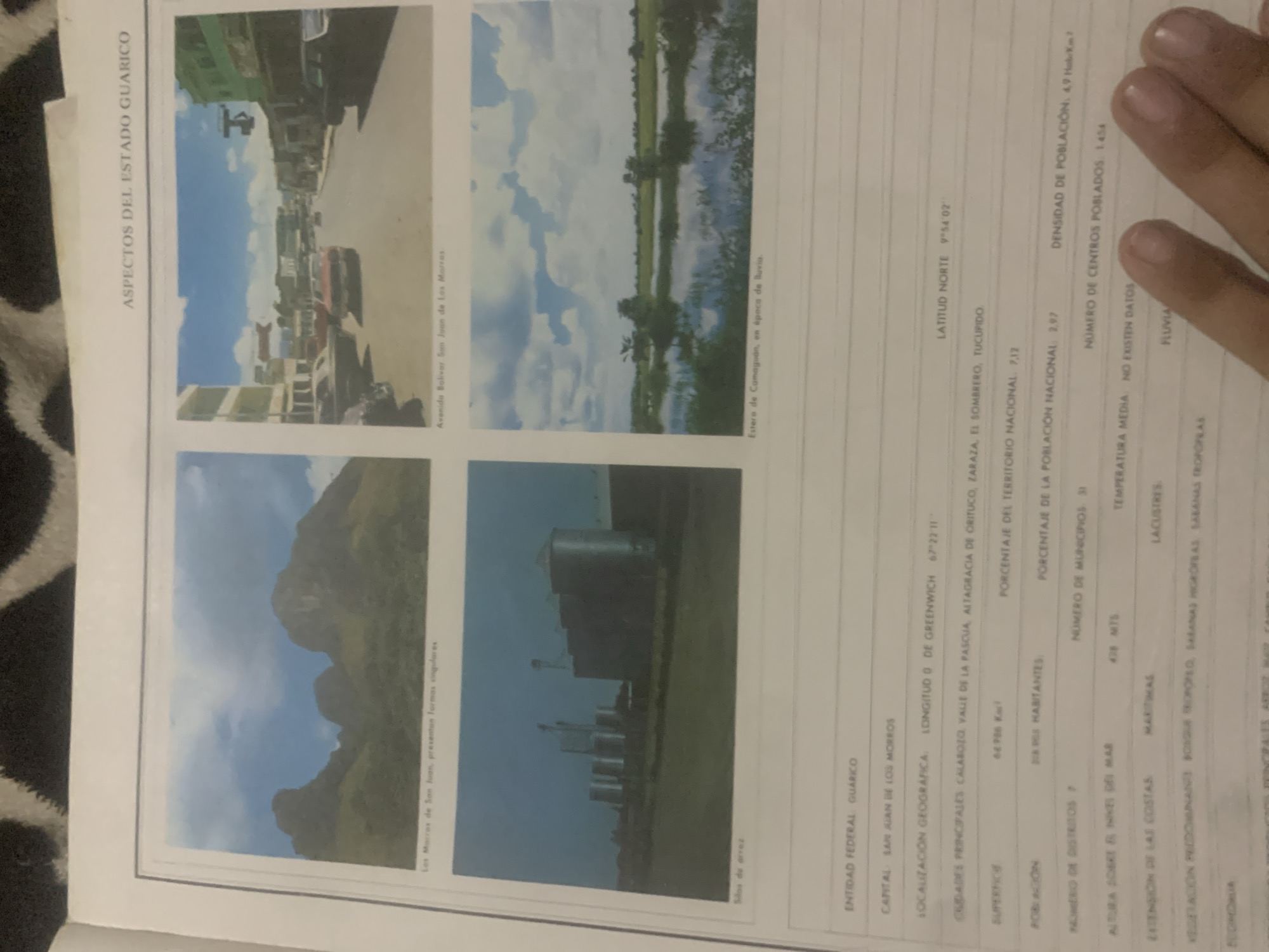
This media file is a scanned page from a document detailing aspects of the Guárico State in Venezuela. The page is divided into four quadrants, each containing a photograph and accompanying text. The top left quadrant shows a street scene with buildings and parked cars, identified as Avenida Bolívar, San Juan de Los Morros. The top right quadrant features a body of water reflecting a cloudy sky, described as an estuary in Camaguán during the rainy season. The bottom left quadrant displays a mountainous landscape with distinctive rock formations, labeled as "Los Morros de San Juan, presenting singular forms." The bottom right quadrant depicts a collection of industrial grain silos against a clear sky, with the caption "Silo de arroz." To the right of the photographs is a column of text providing geographical and demographic data for the Guárico State. This includes its capital, San Juan de Los Morros, its geographical coordinates (latitude and longitude), major cities, surface area, population, population density, number of districts, municipalities, and populated centers, as well as its altitude above sea level, extension of coastlines (maritime, lacustrine, fluvial), and predominant vegetation. The text is in Spanish and includes statistical information such as surface area (66,706 km²) and population density (4.9 inhabitants/km²). The overall presentation suggests an informative document about the region.
Symbol
CB293
Volume
0
Creator
+$0.03
Revenue
+$0.00
TVL
$0.00
Loading AttnAds…

2

Rev Bot 🤖💰
Injected revenue 2mo ago
“Revenue bonus for the last stake.”
+$0.05 USD





