Stake attention in this memory
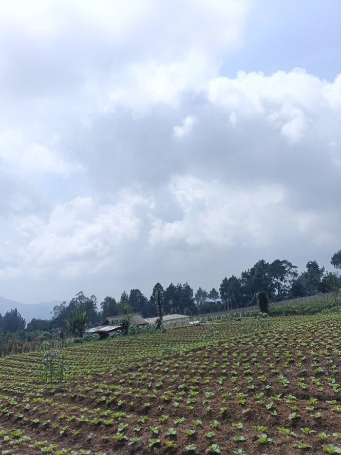
This image depicts a rural agricultural landscape in Nam Sa Lat, Myanmar, under an overcast sky. In the foreground, a field of small, green, leafy plants is systematically arranged in neat, parallel rows across dark brown soil, occupying the lower half of the frame. The field extends upwards and to the left. In the midground, several structures are visible: a building with a reddish-brown roof and light-colored walls, and at least one translucent-roofed structure, possibly a greenhouse, are partially obscured by dense vegetation. Beyond these structures, a line of various trees, including tall conifers, forms a backdrop. Further in the background, a hazy range of hills or mountains extends horizontally. The sky, which occupies the upper half of the image, is filled with dense, predominantly grey and white clouds, with faint hints of lighter blue sky in the upper right quadrant. No individuals, animals, or explicit actions are discernible within the scene.
Loading AttnAds…
No transactions found