Stake attention in this memory
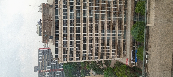
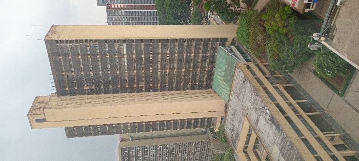
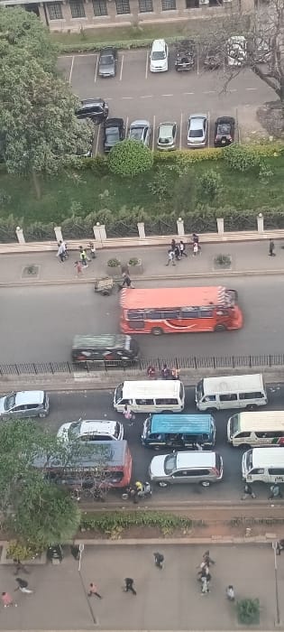
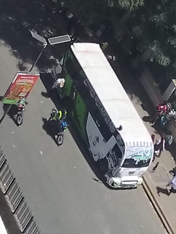
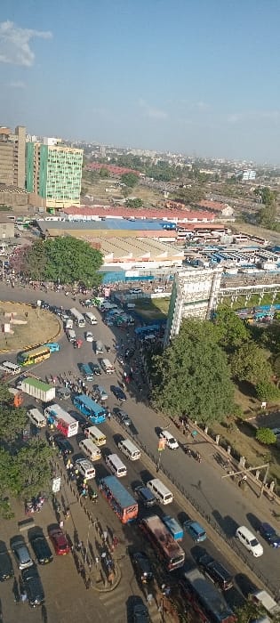
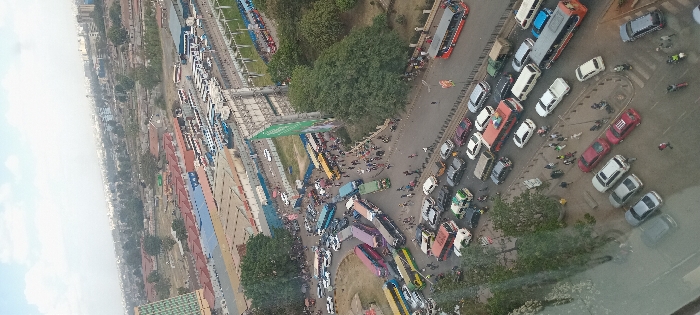
This aerial view depicts a severely congested urban transportation hub in Nairobi, Kenya, specifically the area surrounding the Machakos Country Bus Station and Nairobi Railways Terminus, likely viewed from an elevated building overlooking Haile Selassie Avenue. The scene is dominated by dense vehicular and pedestrian traffic under an overcast sky. In the foreground, a multi-lane asphalt road exhibits a heavy flow of diverse vehicles, including approximately 50-70 private cars (sedans, SUVs, vans), multiple public transport buses (e.g., a red bus and a grey/orange bus), and several motorcycles navigating slow-moving or stationary traffic. Pedestrians, numbering in the dozens, occupy sidewalks and are observed traversing the roadways amidst the vehicles. The midground features a critical intersection or roundabout, intensely packed with public transport vehicles. Over 20 large, multi-colored coaches and numerous smaller "matatu" minibuses are either stationary or maneuvering slowly, forming a substantial traffic jam. A significant number of pedestrians are intermingled with these vehicles on the road itself. Prominently positioned on the right is a large, vertical green billboard displaying text, adjacent to a taller, unidentifiable grey billboard structure. Trees are interspersed along the road margins and near these structures. In the background, a sprawling urban landscape extends under a hazy sky. A vast bus parking or terminal facility, accommodating dozens of parked buses, is discernible to the left of the main road. Further back, various buildings of different heights populate the skyline. An elevated road structure, likely the Nairobi Expressway, with vehicles visible on it, traverses the upper right portion of the image. What appears to be railway lines and associated infrastructure are also visible behind the bus terminal. A tall, green-hued building is partially visible on the far left edge of the image.
Loading AttnAds…
No transactions found