Stake attention in this memory
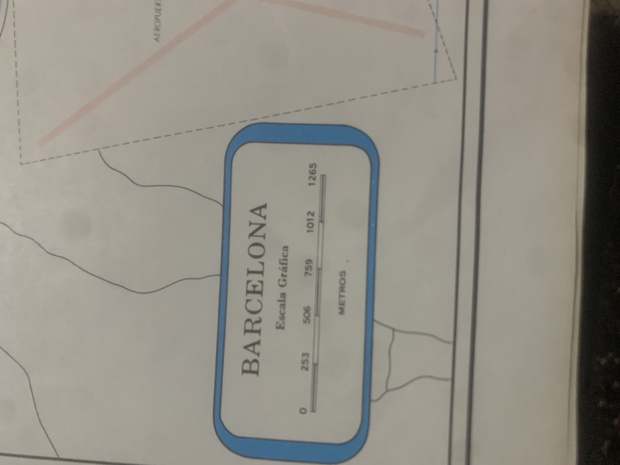
The image shows a close-up of a map labeled "BARCELONA" in large capital letters. Below this title, it reads "Escala Gráfica," indicating a graphic scale. The scale bar is marked with numerical values: 0, 253, 506, 759, 1012, and 1265, with the unit "METROS" (meters) printed below. To the right, a dashed rectangle encloses a pink diagonal line and the text "AEROPUERTO" (airport). The map also depicts thin, dark lines that appear to represent geographical features such as roads or boundaries. The overall impression is of a map fragment displaying a portion of Barcelona, including its airport and a scale for measuring distances. There are no people or specific landmarks identifiable within the cropped image, and no mention of "La Tagua, Venezuela" is present.
Loading AttnAds…
No transactions found





