
Stake attention in this memory
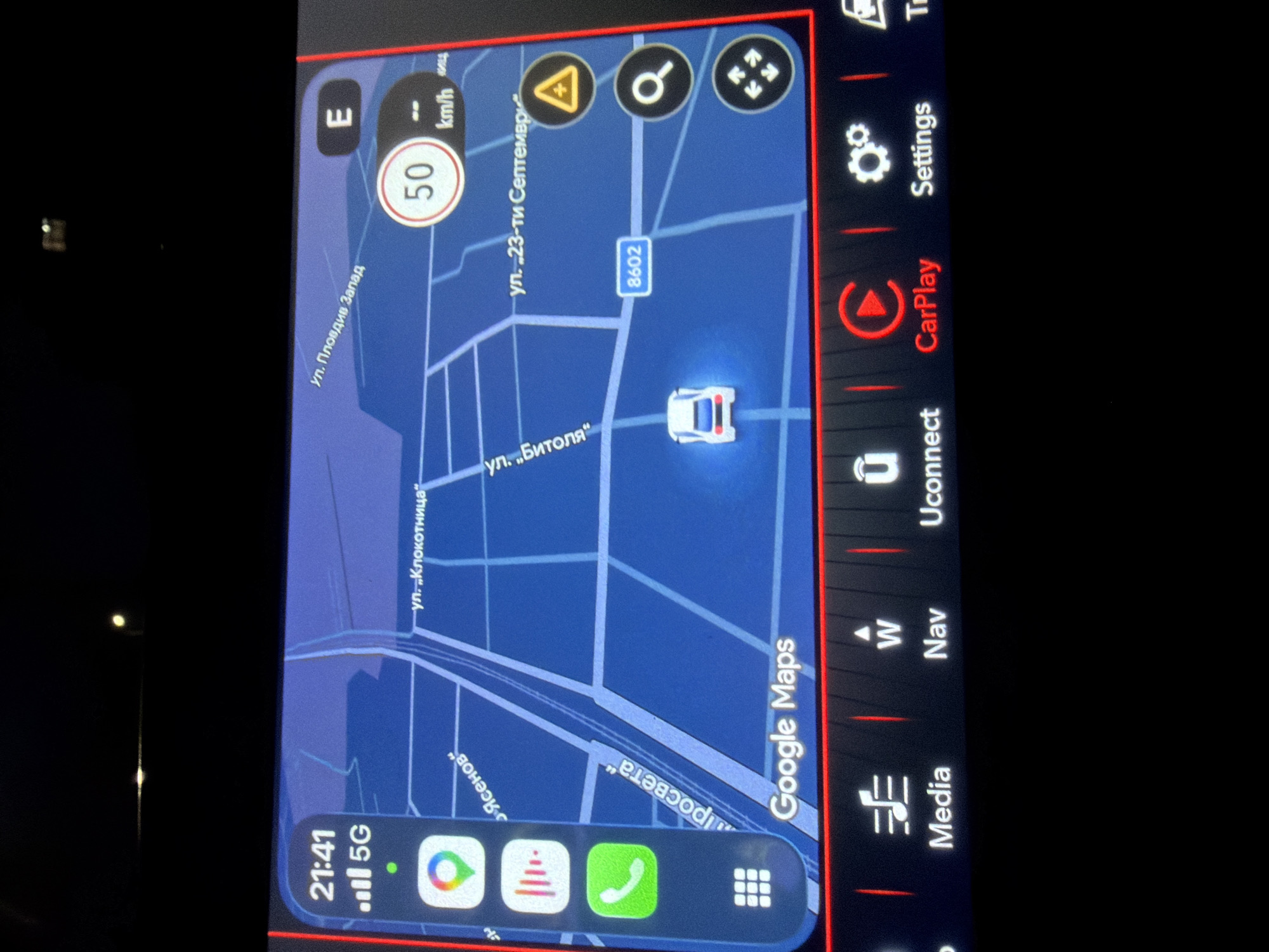
The image shows a car's infotainment screen displaying Google Maps navigation. The map depicts an area of Plovdiv, Bulgaria. The car is on ул. „Битоля“ (Bitola Street), near its intersection with ул. „23-ти Септември“ (23rd September Street), and traveling at 50 km/h in an easterly direction. To the southwest are ул. „Клокотница“ (Klokotnitsa Street), ул. „Ясенов“ (Yasenov Street), and ул. „Просвета“ (Prosveta Street). The map also shows the direction of Ул. Пловдив Запад (Plovdiv West Street) to the north. The lower portion of the screen has icons for navigation, phone, and other apps, including Google Maps itself. The right side of the screen has icons for Media, Navigation, Uconnect, CarPlay, and Settings. The car's time is displayed as 21:41, with a 5G network connection.
Symbol
CC74A
Volume
0
Creator
+$0.00
Revenue
+$0.00
TVL
$0.00
Loading AttnAds…