Stake attention in this memory
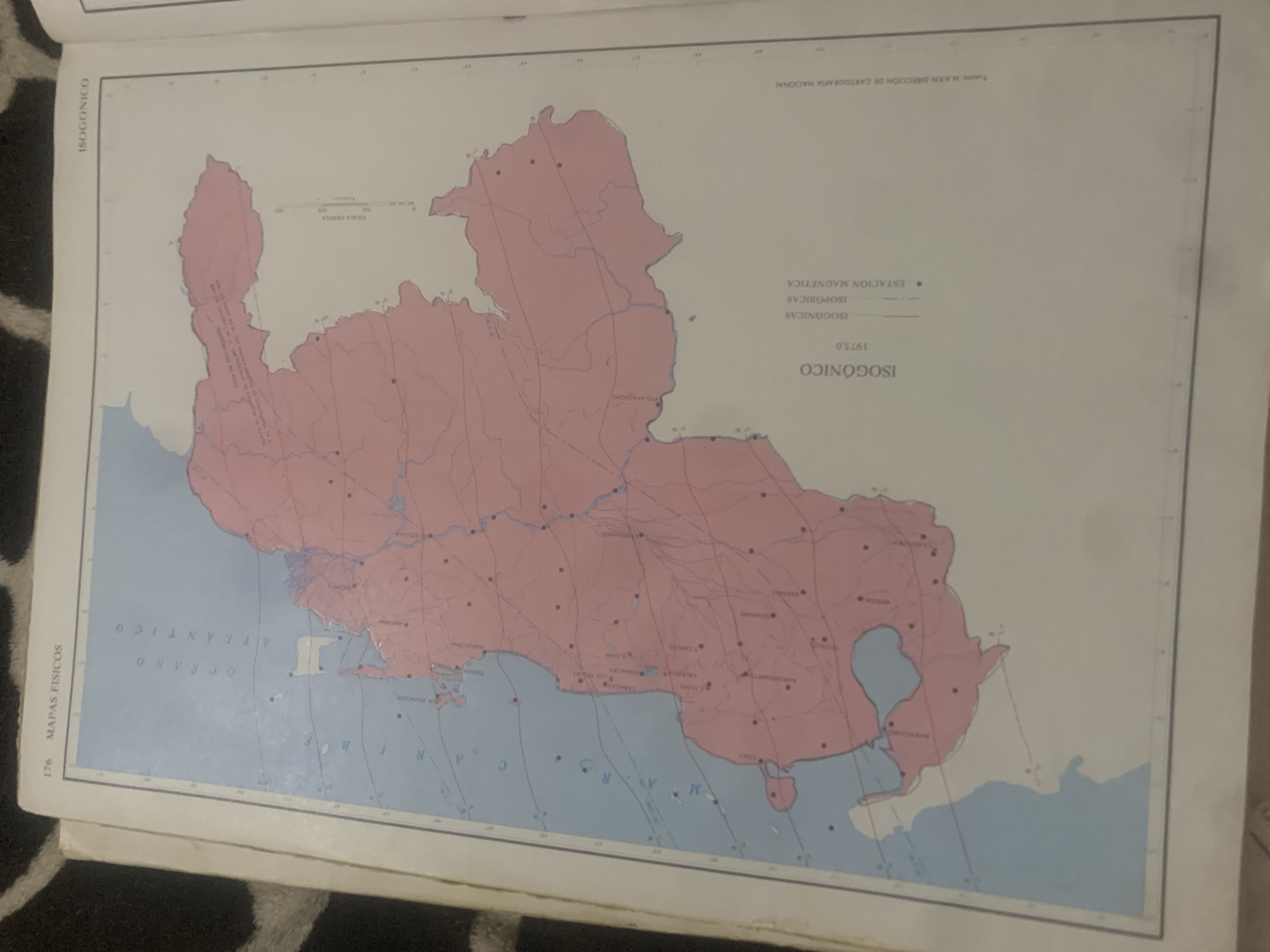
This is a photograph of a map, titled "ISOGÓNICO 1975,0". The map displays geographical features in shades of pink and blue, with various lines and dots indicating data points. The pink area appears to represent land, possibly a country or region, while the blue areas represent bodies of water, labeled as "OCEANO ATLANTICO". Several place names are visible on the map, including "PTO AYACUCHO". There are also labels for "ISOGÓNICAS", "ISOPÓRICAS", and "ESTACIÓN MAGNÉTICA", suggesting the map pertains to magnetic declination or related geographical data. A scale bar is also present on the map. The map is positioned on a surface with a patterned texture, possibly a rug or fabric. The image is taken from an angle, and the lighting casts a slight glare on the map's surface. Text on the top right corner of the map indicates it is from the "DIRECCIÓN DE CARTOGRAFÍA NACIONAL". The number "176" is visible on the bottom left, possibly a page number. The overall impression is of a historical or scientific document.
Symbol
CCEAE
Volume
11,550
Creator
+$0.13
Revenue
+$0.17
TVL
$11.63
2
Rev Bot 🤖💰
Injected revenue 6d ago
“Revenue bonus for the last stake.”
+$0.19 USD


