Stake attention in this memory
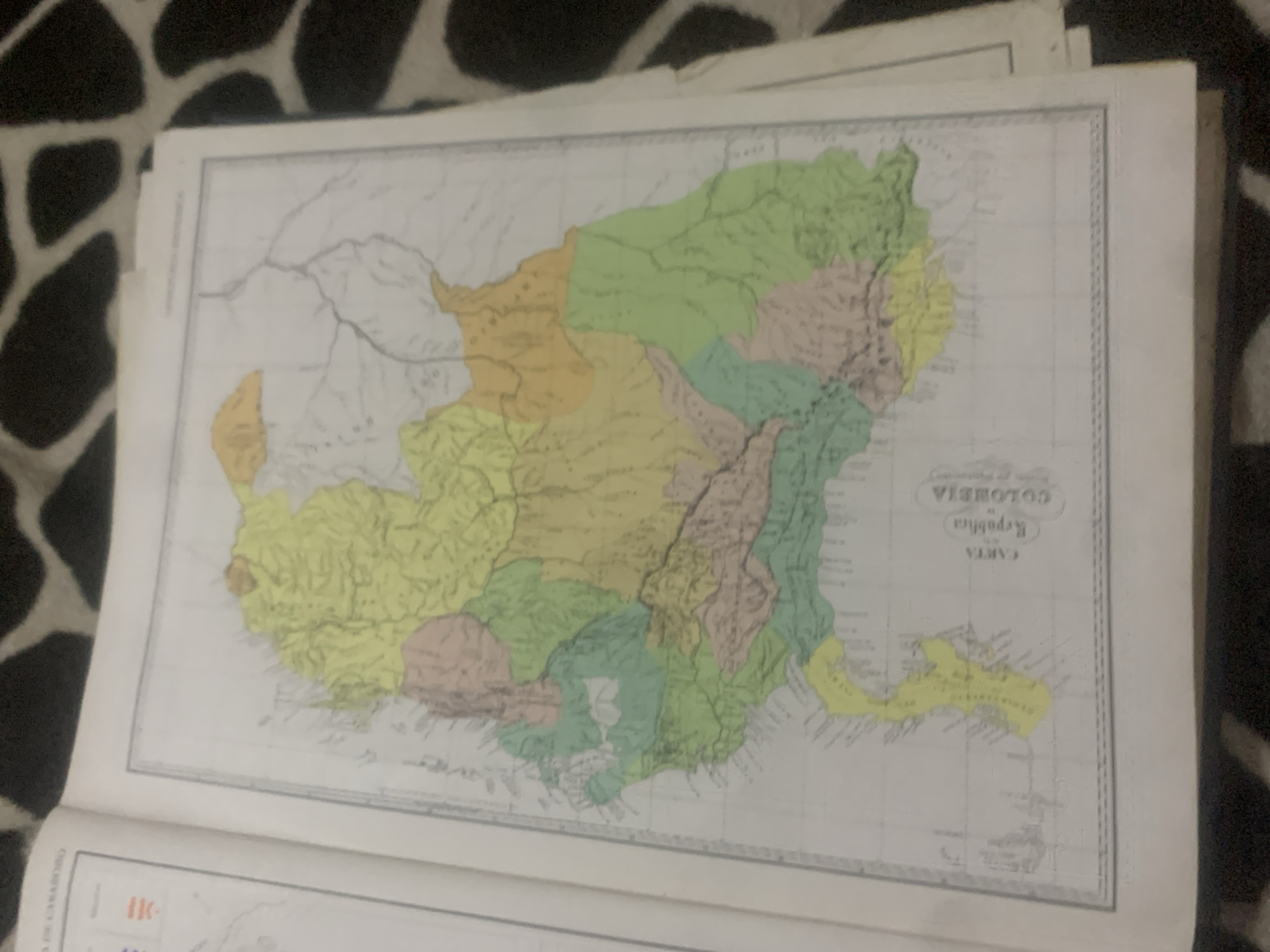
This image features a close-up, angled view of an old map laid open on a surface with a black and white spotted pattern, possibly a rug or fabric. The map itself is old and shows a geographical region with various colored sections, suggesting political divisions or different geographical features. The primary subject is the map, which displays a detailed landscape with rivers and coastlines. The map has text in Spanish, prominently featuring "REPÚBLICA DE COLOMBIA" and "CARTA GEOGRÁFICA." The map is oriented with the text at the bottom right, suggesting the map is upside down relative to the viewer. The image seems to be taken indoors, with the lighting casting subtle shadows and highlighting the texture of the map's paper. There are no people or discernible activity taking place, other than the act of presenting the map. The overall impression is one of historical documentation or academic study. The location context of "La Tagua, Venezuela" is not directly visible on the map in the provided image, but it is given as external information.
Symbol
CE2AF
Volume
0
Creator
+$0.14
Revenue
+$0.00
TVL
$0.00
2
Rev Bot 🤖💰
Injected revenue 6d ago
“Revenue bonus for the last stake.”
+$0.29 USD