Sign in
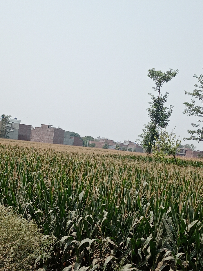
The image shows a field of corn in the village of Chak 1/1 RA Renala Khurd, Pakistan (latitude: 30.931, longitude: 73.63). The corn is growing tall and green, with the stalks reaching up towards a clear, blue sky. The field is bordered by a row of trees on the far side, and in the background, a row of brick buildings is visible. The buildings appear to be residential structures, possibly homes or apartments. The scene is quiet and peaceful, with no people or animals visible.  The weather appears to be sunny and clear.
Tehreem🌸

May 14, 2025, 9:02 AM

Chak 1/1 RA Renala Khurd, Pakistan

Stake attention in this memory

peaceful
rural
serene
tranquil
natural

The image shows a field of corn in the village of Chak 1/1 RA Renala Khurd, Pakistan (latitude: 30.931, longitude: 73.63). The corn is growing tall and green, with the stalks reaching up towards a clear, blue sky. The field is bordered by a row of trees on the far side, and in the background, a row of brick buildings is visible. The buildings appear to be residential structures, possibly homes or apartments. The scene is quiet and peaceful, with no people or animals visible. The weather appears to be sunny and clear.

Loading AttnAds…

transactions
revenues
stakers
Earliest
Latest
Highest stake

No transactions found
More from this user

More from Chak 1/1 RA Renala Khurd

Tehreem🌸

May 14, 2025, 9:02 AM

Chak 1/1 RA Renala Khurd, Pakistan

Licensed under Creative Commons Attribution 4.0 International License. You are free to share and adapt this content with proper attribution.