Stake attention in this memory
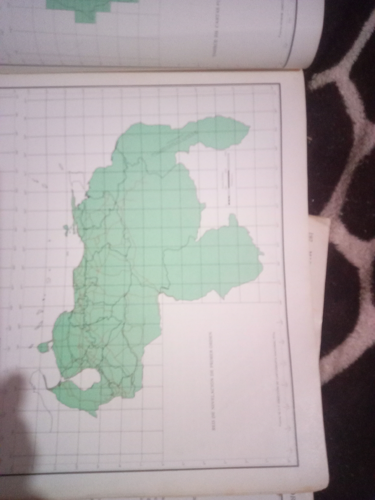
The image shows an open book displaying a map. The map is overlaid with a grid and highlights a green-colored geographical area. Text in Spanish is visible at the bottom of the map, reading "RED DE NIVELACIÓN DE PRIMER ORDEN," which translates to "FIRST-ORDER LEVELING NETWORK." Another Spanish text, "MAPA DE CARTA," is partially visible at the top of the page, meaning "MAP OF THE CHART." The geographical area on the map appears to be a landmass with intricate boundaries and internal divisions. The map is positioned on a surface with a dark, patterned texture, possibly a rug or fabric. There are no people or explicit actions depicted in the image. The overall scene is that of a document being presented, with the map as the central focus. The question requests a description of the location in the city of La Tagua, Venezuela, however, the image itself does not contain any specific information that can link it to La Tagua, Venezuela.
Symbol
CF135
Volume
0
Creator
+$0.03
Revenue
+$0.00
TVL
$0.00
Loading AttnAds…

2

Rev Bot 🤖💰
Injected revenue 3mo ago
“Revenue bonus for the last stake.”
+$0.06 USD






