
Sign in
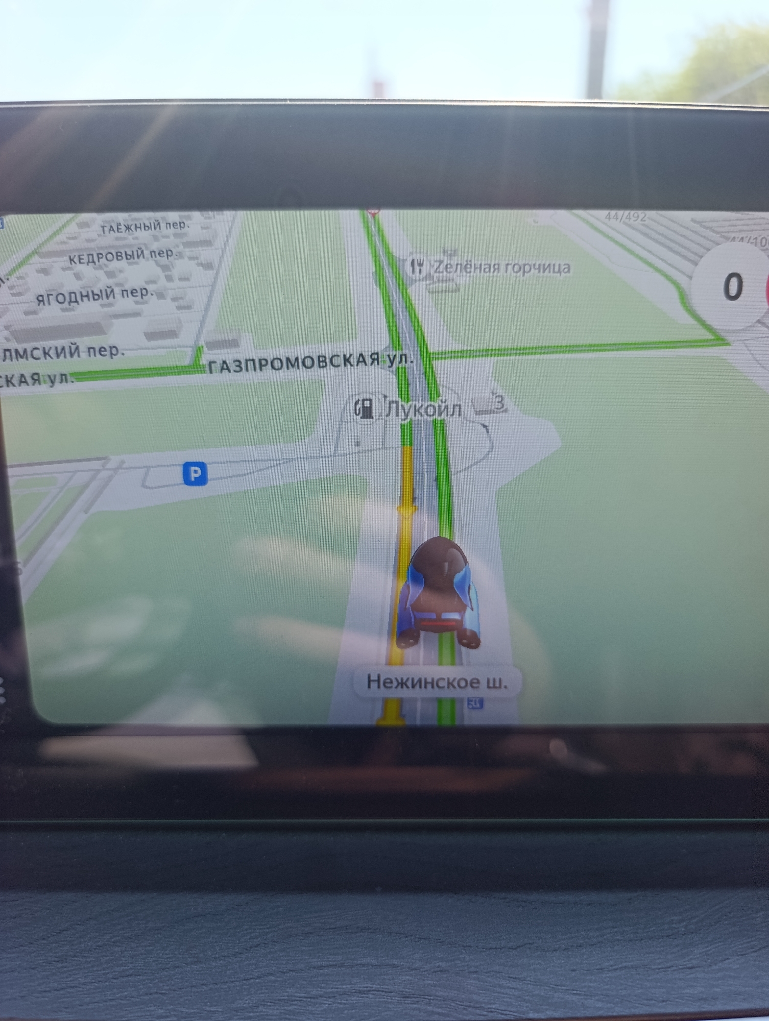
The image shows a car's GPS navigation system displaying a map of Orenburg, Russia. The navigation route is highlighted in green, with the current position of the car marked by a stylized car icon. Key street names visible on the map include "Taezhny per.", "Kedrovy per.", "Yagodny per.", "Olmskiy per.", "Gazpromovskaya ul.", "Zelyonaya gorchitsa", and "Nezhinskoye Sh.". A blue "P" symbol indicates a parking area. The overall environment depicted is a city street network with buildings and roads rendered in a simplified, digital format.
varvarakalduzova

Jul 13, 2026, 5:54 AM

Orenburg, Russia

Stake attention in this memory

calm
focused
navigational
neutral
direct

The image shows a car's GPS navigation system displaying a map of Orenburg, Russia. The navigation route is highlighted in green, with the current position of the car marked by a stylized car icon. Key street names visible on the map include "Taezhny per.", "Kedrovy per.", "Yagodny per.", "Olmskiy per.", "Gazpromovskaya ul.", "Zelyonaya gorchitsa", and "Nezhinskoye Sh.". A blue "P" symbol indicates a parking area. The overall environment depicted is a city street network with buildings and roads rendered in a simplified, digital format.

Loading AttnAds…

transactions
revenues
stakers
Earliest
Latest
Highest stake

No transactions found
More from this user

More from Orenburg

varvarakalduzova

Jul 13, 2026, 5:54 AM

Orenburg, Russia

Licensed under Creative Commons Attribution 4.0 International License. You are free to share and adapt this content with proper attribution.