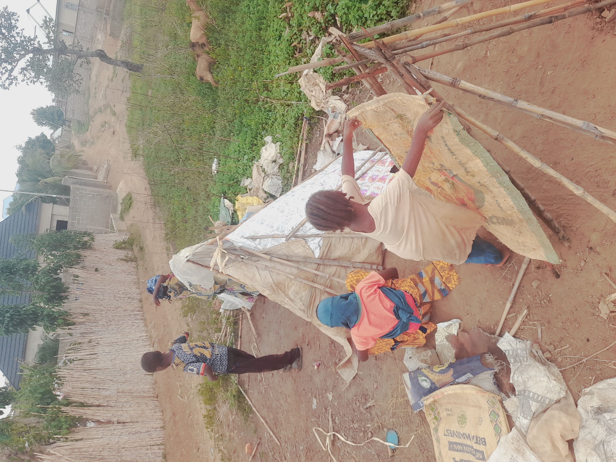
Stake attention in this memory
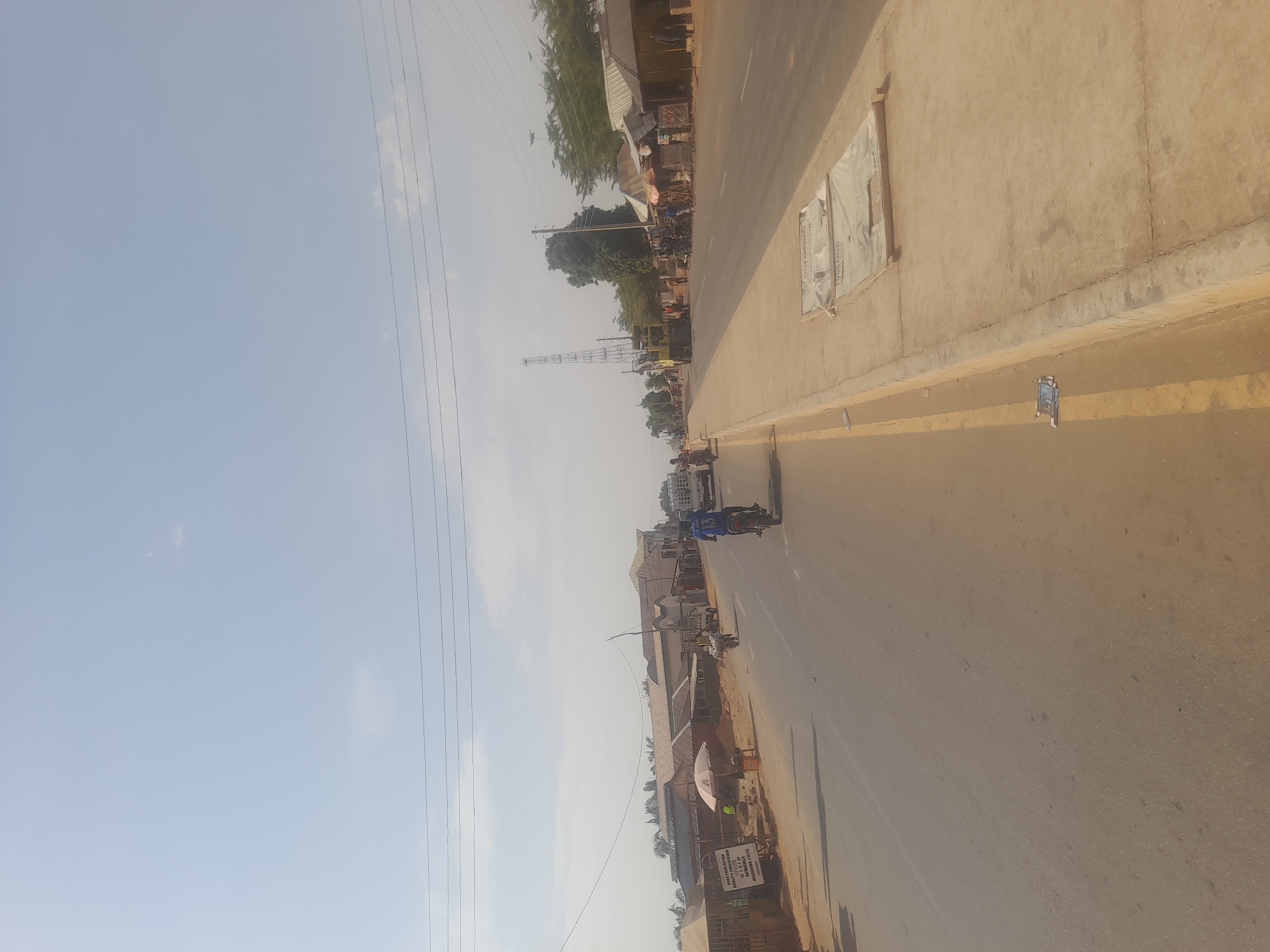
This image depicts a wide-angle street view in Ube, Nigeria, specifically within Nasarawa State as evidenced by visible signage. The scene is dominated by a two-lane asphalt road with an unpaved shoulder on the left and a raised concrete median on the right, separating the main road from a parallel concrete walkway. The sky is a light, hazy blue with minimal cloud cover, suggesting either bright daylight or atmospheric dust. On the left side of the road, several structures line the street, appearing to be a mix of residential and commercial buildings, some with corrugated metal roofs. A large white sign with black text, partially obscured, reads "KILLA EDUCATION MOBILITY SOLUTION" and mentions "NASARAWA STATE" and a P.O. Box. Near this sign, a white market umbrella shades an area, and at least one individual is visible nearby, possibly engaged in commerce. Further down this side, multiple motorcycles and vehicles are parked or in motion. In the immediate foreground on the road, a person wearing a blue shirt with the number '13' on the back is operating a motorcycle, moving away from the viewer. Another person on a motorcycle is visible further down the road, also moving in the same direction. A white passenger bus or van is also present in the distance on the left lane. The right side of the image features a dirt path or shoulder adjacent to the concrete walkway. Beyond this, a series of roadside stalls and small buildings with various roofs, some made of corrugated metal, stretch into the distance. Several individuals are present near these stalls, engaged in various activities. A tall, open-lattice communication tower is prominently visible in the mid-ground on the right, surrounded by trees. Further down the road, a large yellow utility or construction vehicle is parked. Power lines traverse the upper portion of the frame. The concrete median on the right displays two white, rectangular objects covered with what appears to be tarpaulin or similar material, possibly covering manholes or construction materials, with some faint text, including "NASARAWA STATE" and "TOURISM," visible on one of the covers. Scattered debris, including a small crumpled item, lies on the concrete surface near the median.
Loading AttnAds…
No transactions found