Stake attention in this memory
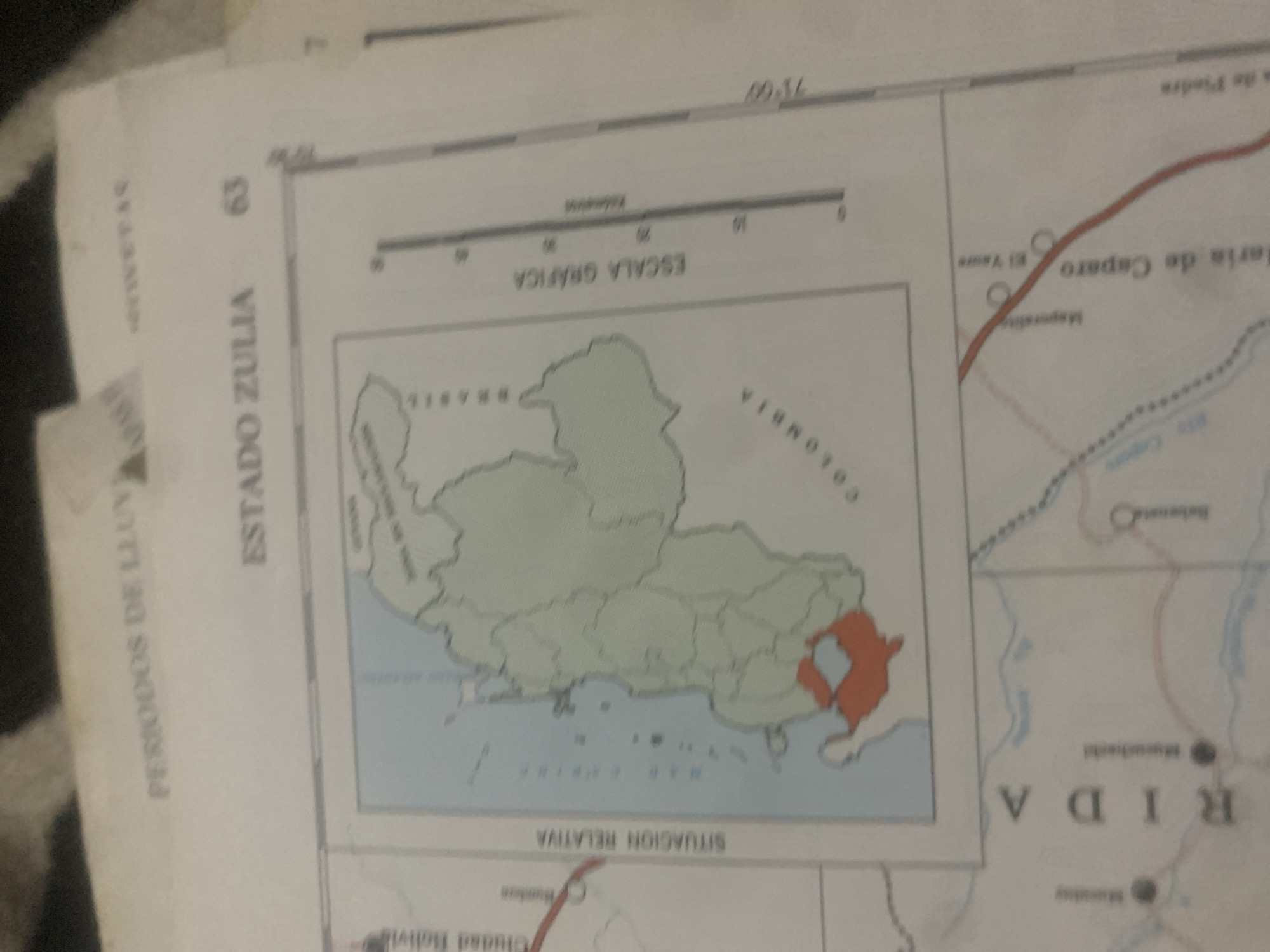
This media file is a close-up photograph of a map, likely from a geography or historical document. The map displays geographical features, borders, and place names. The main subject is the map itself, presented as an object. The map appears to be of a region in South America, with sections labeled "ESTADO ZULIA" and what seems to be the border with "COLOMBIA". There is also text indicating "PERIODOS DE LLUV" (Periods of Rain) and "SITUACION RELATIVA" (Relative Situation). A smaller inset map shows a highlighted area in orange. Visible place names include "El Yaure" and "aria de Caparo". A scale bar labeled "ESCALA GRÁFICA" with markings up to "50" is also present. Another section of text, "RIDA", is prominently displayed. There is no discernible activity or event taking place, as the image focuses solely on the static content of the map. The setting is implied to be a flat surface where the map is laid out. The lighting suggests an indoor environment, possibly a desk or table. The time of day and weather are not indicated. No people are visible in the image. The overall tone is informative and academic, given the nature of the content.
Symbol
D1A20
Volume
11,550
Creator
+$0.03
Revenue
+$0.04
TVL
$2.39
Loading AttnAds…

2

Rev Bot 🤖💰
Injected revenue 2mo ago
“Revenue bonus for the last stake.”
+$0.04 USD





