Stake attention in this memory
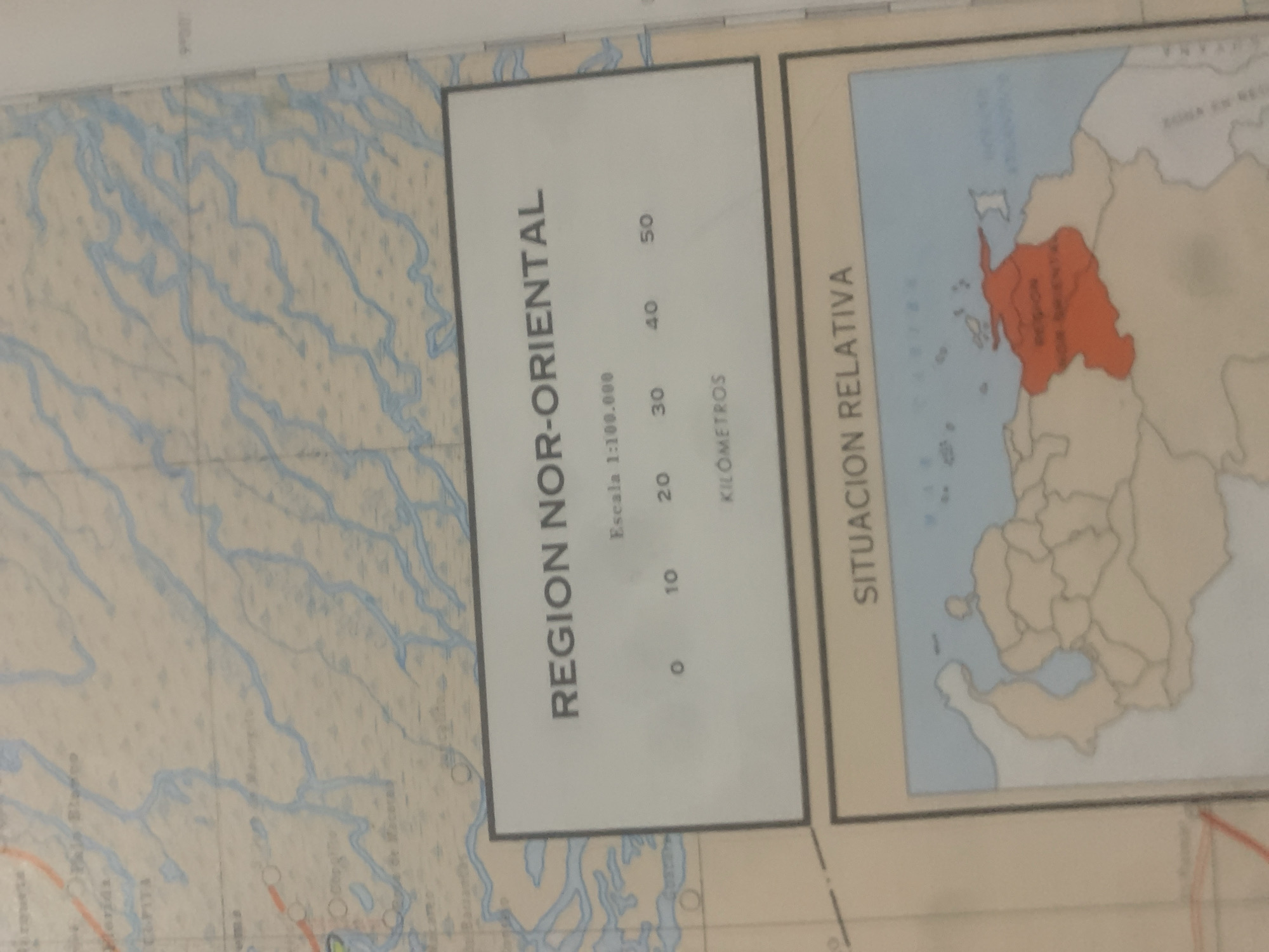
The image displays a close-up of a map, likely a physical map given the depiction of geographical features. The map has a light-colored background with blue lines representing bodies of water, such as rivers or lakes, and a network of smaller, lighter blue lines indicating tributaries or smaller streams. Scattered across the landmass are small dark dots, possibly representing settlements or geographical markers. Dominating the center-left of the image is a rectangular white box with a black border containing text. The text reads "REGION NOR-ORIENTAL" in large, bold, uppercase letters. Below this, in smaller font, it states "Escala 1:100.000". Further down, a scale bar is illustrated with markings for "0", "10", "20", "30", "40", and "50", with the word "KILÓMETROS" positioned beneath these numbers. This section appears to be a key or legend for the map. To the right of this box, another rectangular area with a black border is visible. This area contains a smaller map, colored with a light blue for water and a tan color for land. A specific region within this smaller map is highlighted in a bright orange color. Text within this orange region is difficult to read clearly but appears to be Spanish. Above the smaller map, the vertical text "SITUACION RELATIVA" is present, suggesting this smaller map provides a relative location context for the "REGION NOR-ORIENTAL" mentioned earlier. The overall scene is one of cartographic representation, likely for geographical study or navigation. There are no people or any indication of a specific time of day or weather. The location context of "La Tagua, Venezuela" suggests this map might be related to that region.
Symbol
D30CF
Volume
11,550
Creator
+$0.14
Revenue
+$0.25
TVL
$11.63
2
Rev Bot 🤖💰
Injected revenue 6d ago
“Revenue bonus for the last stake.”
+$0.28 USD


