Sign in
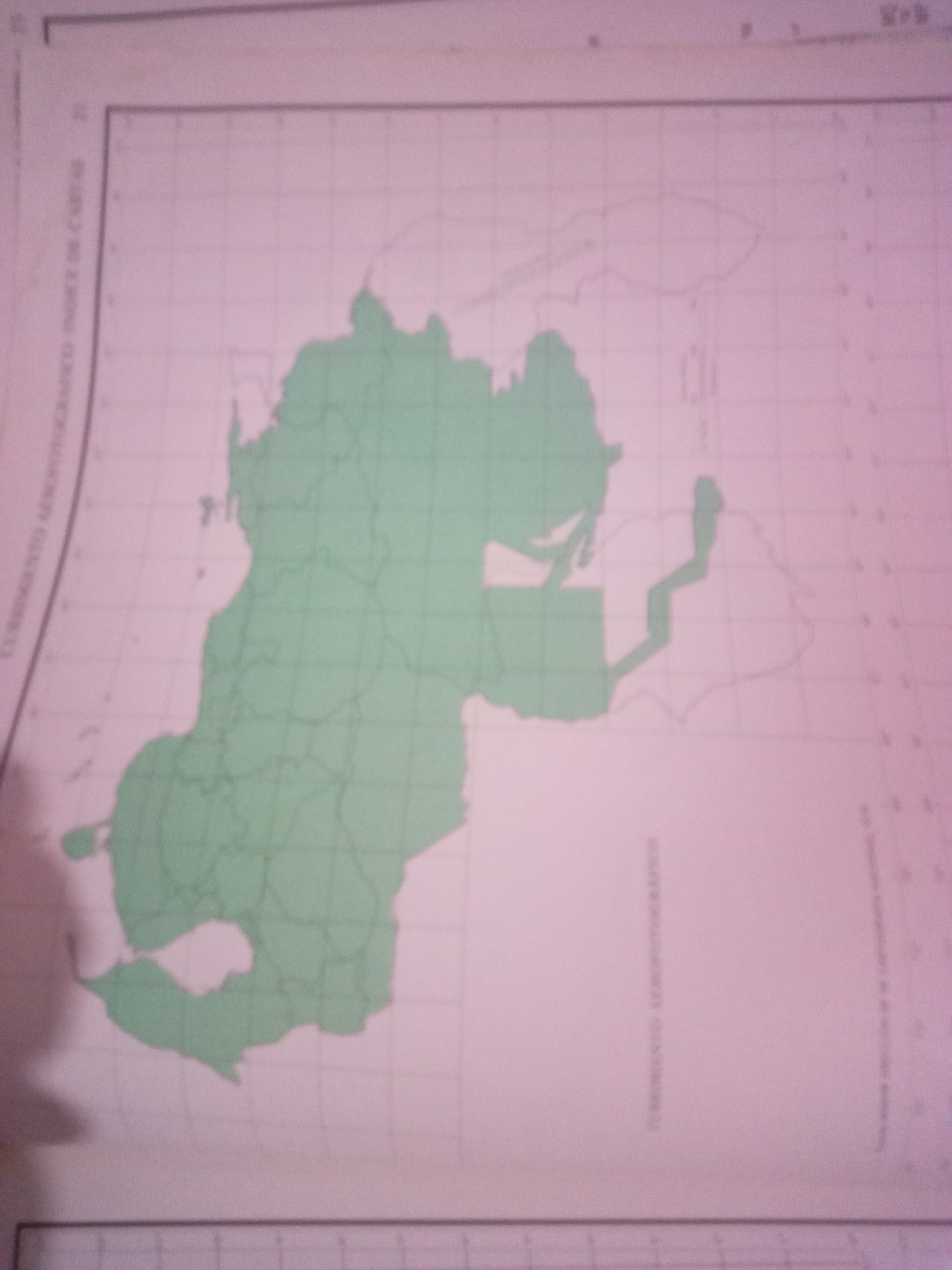
The image is a map of Venezuela with a portion highlighted in green. The highlighted area appears to be a portion of the country, possibly showing administrative divisions or a specific geographical region. There is text in Spanish visible on the left side of the map, which reads "CORRIENTE AEROPOTOGRAFICA INDICE DE CARTAS". This translates to "Aerial Photographic Current, Index of Charts." There are also grid lines present on the map, suggesting it is a cartographic representation. The map is overlaid on a pinkish-purple background. There are no people, objects, or actions depicted other than the map itself. The city of La Tagua, Venezuela, is not explicitly labeled or identifiable within the visible portion of the map.
Alberto Rodríguez

Jun 10, 2026, 6:43 AM

La Tagua, Venezuela

Stake attention in this memory

curiosity
discovery
exploration
contemplation
awe

The image is a map of Venezuela with a portion highlighted in green. The highlighted area appears to be a portion of the country, possibly showing administrative divisions or a specific geographical region. There is text in Spanish visible on the left side of the map, which reads "CORRIENTE AEROPOTOGRAFICA INDICE DE CARTAS". This translates to "Aerial Photographic Current, Index of Charts." There are also grid lines present on the map, suggesting it is a cartographic representation. The map is overlaid on a pinkish-purple background. There are no people, objects, or actions depicted other than the map itself. The city of La Tagua, Venezuela, is not explicitly labeled or identifiable within the visible portion of the map.

Loading AttnAds…

transactions
revenues
stakers
Earliest
Latest
Highest stake

No transactions found

More from this user

More from La Tagua

Alberto Rodríguez

Jun 10, 2026, 6:43 AM

La Tagua, Venezuela

Licensed under Creative Commons Attribution 4.0 International License. You are free to share and adapt this content with proper attribution.



