Stake attention in this memory
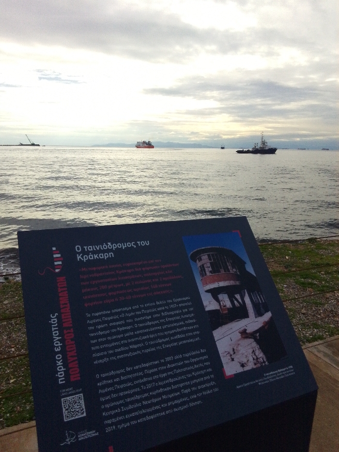
The image captures a coastal scene in Drapetsona, Greece, under an overcast sky. In the immediate foreground, a dark blue information sign stands near the water's edge. The sign's left side features a stylized lighthouse graphic and the Greek text "πάρκο εργατιάς" (workers' park) and "ΠΟΛΥΧΩΡΟΣ ΛΙΠΑΣΜΑΤΩΝ" (Fertilizer Complex), along with a QR code. The main body of the sign, titled "Ο ταινιόδρομος του Κράκαρη" (The conveyor belt of Kracari/Krakari), details the history of an industrial conveyor belt. It mentions its construction post-World War II, possibly under the Marshall Plan, and its role in the Fertilizer Company's development. The text further explains that while not demolished in 2003, it was not preserved, and although declared a monument in 2017, it remains abandoned and partly ruined, with a section collapsing in July 2019 due to an earthquake. An image on the right side of the sign displays a weathered, multi-story industrial structure, likely the conveyor belt's control tower or part of its mechanism. Beyond the sign, a calm body of water stretches towards the horizon. Several ships are visible across the water. On the far left, a barge or port structure with a crane is present. In the mid-distance, a large red cargo ship sails, while closer to the right, a white and black tugboat is active. Further in the background, other smaller vessels dot the sea. The sky above is largely covered in muted grey and white clouds, suggesting a cloudy day or late afternoon light, with faint hints of sunlight trying to break through. Distant land or mountains are barely visible along the horizon line. The overall atmosphere is quiet and somewhat industrial, with the sign providing historical context to the maritime and industrial landscape.
No transactions found