Stake attention in this memory
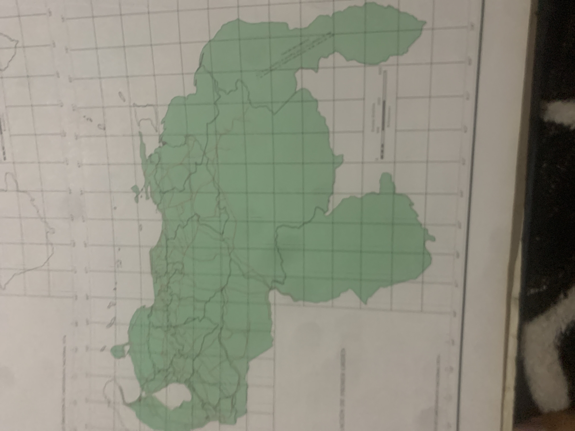
The media file displays a map of a geographical region, primarily in shades of green and white, overlaid with a grid. The green area represents a landmass, possibly a country or a region within a country, with internal divisions marked by thin, dark lines. These internal lines suggest administrative or geographical subdivisions. The map has a grid of light gray lines, likely indicating latitude and longitude or a similar coordinate system. In the upper right portion of the map, there is a vertical scale bar, which is a common feature on maps to indicate distance. There is also some text present on the map, but it is largely illegible due to the image quality and resolution. However, a partial word "AMERICA" can be discerned at the bottom right, along with what appears to be a title or descriptive text in a smaller font. The overall presentation suggests a cartographic document, potentially an atlas page or a printed map. There are no people, animals, or specific events depicted. The image is static and informative in nature. The context provided indicates that the location is La Tagua, Venezuela, but the map itself does not explicitly show this name in a legible manner. The lighting in the image is somewhat uneven, and the image appears to be a photograph of a physical map, possibly taken at an angle.
Symbol
D471C
Volume
11,550
Creator
+$0.14
Revenue
+$0.21
TVL
$11.59
2
Rev Bot 🤖💰
Injected revenue 6d ago
“Revenue bonus for the last stake.”
+$0.23 USD