Stake attention in this memory
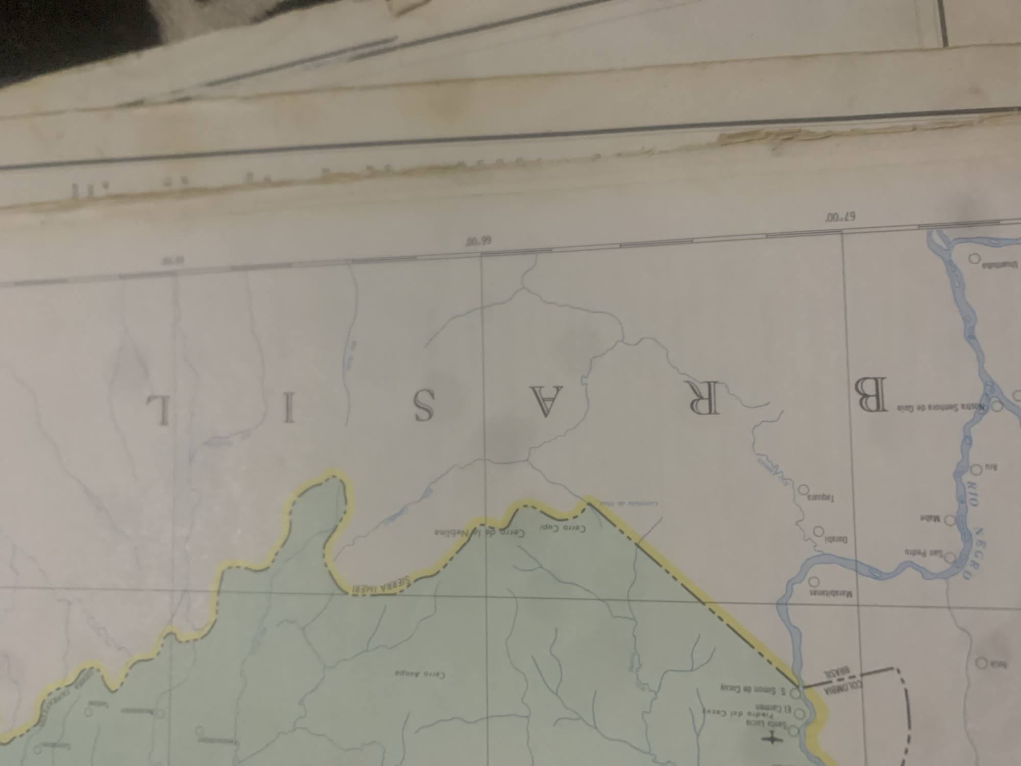
The image is a close-up of a map, likely an old one, showing a border region between Colombia and Brazil. The map displays geographical features like rivers and mountain ranges, along with place names in Spanish and Portuguese. Prominently visible are the words "COLOMBIA BRASIL" indicating the border. There are also large letters spelling "BRASIL" vertically on the right side of the image, suggesting this area is part of Brazil. The map includes grid lines and latitude/longitude markings such as "66°00'" and "67°00'". Several place names are visible, including "Cerro Amapa," "Sierra Imeri," "Cerro Cupi," and "Cerro de la Neblina." Rivers like "Rio Negro" are also labeled. The question about the city of La Tagua, Venezuela, is not directly answered by the visible content of the map, as the map primarily focuses on the Colombia-Brazil border and doesn't clearly depict Venezuela.
Symbol
D4A80
Volume
11,550
Creator
+$0.03
Revenue
+$0.04
TVL
$2.39
Loading AttnAds…

2

Rev Bot 🤖💰
Injected revenue 2mo ago
“Revenue bonus for the last stake.”
+$0.04 USD





