
Stake attention in this memory
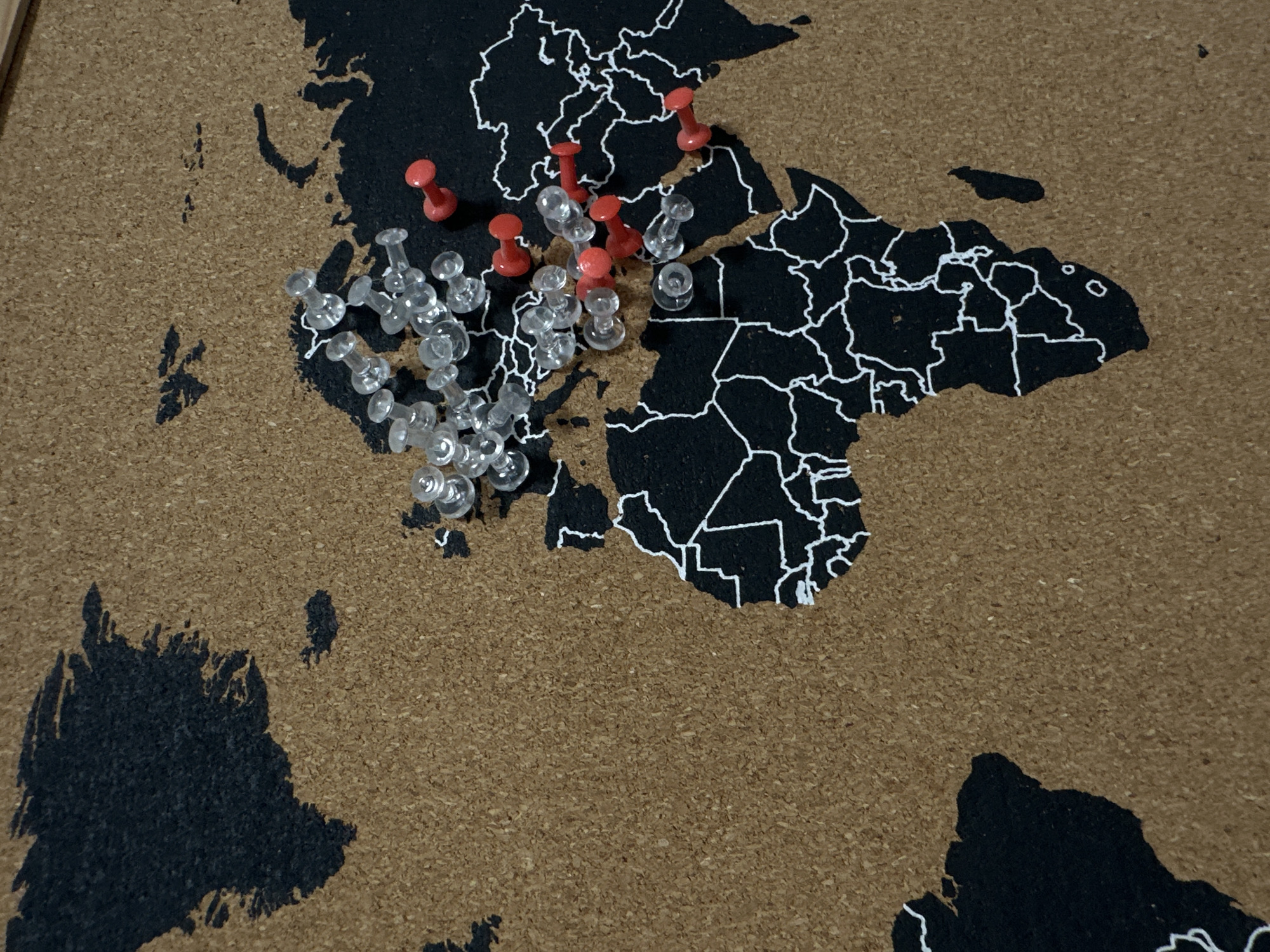
This image, captured in Ramat Gan, Israel, presents an overhead view of a cork board world map. The map features continents rendered in black with white outlines for country borders, set against the natural brown texture of the cork board, representing oceans and unmapped areas. Visible landmasses include portions of North America (top left), Europe (center), Asia (right), Africa (center bottom), and a small section of South America (bottom left). Numerous pushpins are inserted into the map. Approximately 40 clear/transparent pushpins are clustered predominantly across Western and Central Europe. Interspersed among these and extending into Eastern Europe and Western Asia, approximately 15 red pushpins are present. The pins are statically embedded in the cork surface. No human figures or active interactions are depicted. The environment appears to be indoors under ambient lighting conditions.
Loading AttnAds…
No transactions found