
Sign in
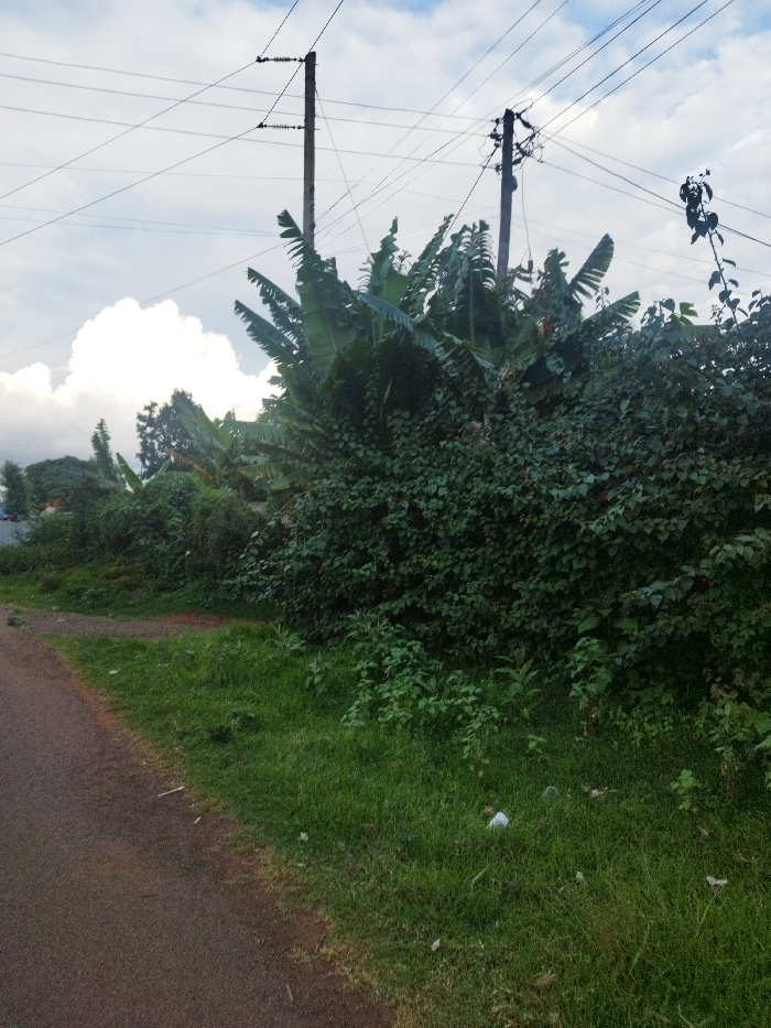
The image shows a dirt road in Nyeri, Kenya (coordinates: -0.443, 36.944).  The road is bordered by a dense growth of green foliage, including banana trees and a large, tall bush.  There are two utility poles with power lines running across the sky.  The sky is partly cloudy, with a bright, white cloud visible in the upper left corner.  The ground is covered with green grass and some debris.  There is a large, dark bush growing in the background.  No people are visible in the image.  There is a piece of white trash visible on the ground in the foreground.
Kanjes

Apr 30, 2025, 2:48 PM

Nyeri, Kenya

Stake attention in this memory

Tranquil
Peaceful
Serene
Natural
Remote

The image shows a dirt road in Nyeri, Kenya (coordinates: -0.443, 36.944). The road is bordered by a dense growth of green foliage, including banana trees and a large, tall bush. There are two utility poles with power lines running across the sky. The sky is partly cloudy, with a bright, white cloud visible in the upper left corner. The ground is covered with green grass and some debris. There is a large, dark bush growing in the background. No people are visible in the image. There is a piece of white trash visible on the ground in the foreground.

Loading AttnAds…

transactions
revenues
stakers
Earliest
Latest
Highest stake

No transactions found
More from this user

More from Nyeri

Kanjes

Apr 30, 2025, 2:48 PM

Nyeri, Kenya

Licensed under Creative Commons Attribution 4.0 International License. You are free to share and adapt this content with proper attribution.