Stake attention in this memory
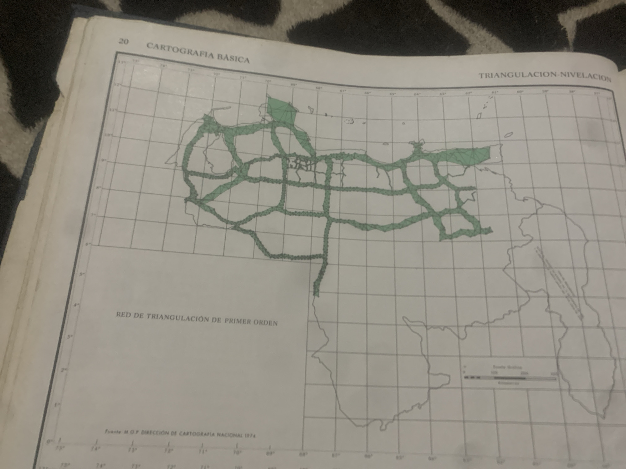
This media file is a close-up, slightly angled shot of an open book displaying a map. The map is a topographic or cartographic representation, likely of Venezuela given the text and the outline of the country's coastline. The map features a grid of latitude and longitude lines, with green shaded areas indicating a network of roads or transportation routes. Text at the top reads "CARTOGRAFIA BASICA" and "TRIANGULACION-NIVELACION," suggesting the map's purpose is related to basic cartography and triangulation for surveying. Below the map, in larger text, is "RED DE TRIANGULACIÓN DE PRIMER ORDEN," translating to "First Order Triangulation Network." The source of the map is indicated as "Fuente MOP DIRECCIÓN DE CARTOGRAFIA NACIONAL 1974," meaning "Source MOP National Cartography Directorate 1974." A scale bar is also visible near the bottom right of the map. The book itself appears to be bound in dark blue material. The background of the image consists of a black and white patterned surface, possibly fabric or a rug. There are no people or animals visible. The lighting suggests it is indoors, and the time of day is indeterminate. The overall scene is a detailed view of a cartographic document.
Symbol
D81F8
Volume
11,550
Creator
+$0.14
Revenue
+$0.24
TVL
$11.68
2
Rev Bot 🤖💰
Injected revenue 6d ago
“Revenue bonus for the last stake.”
+$0.27 USD


