Stake attention in this memory
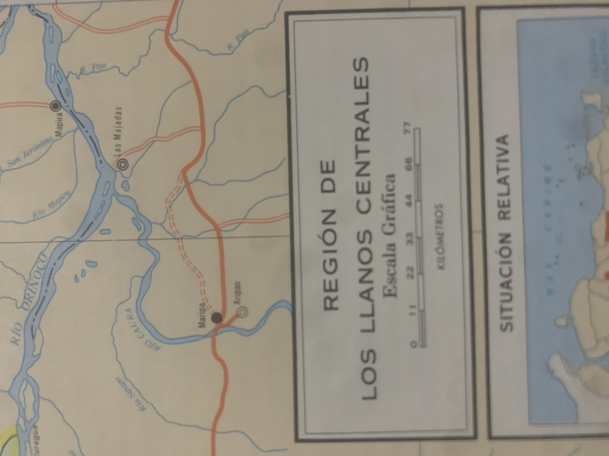
This is a photograph of a map section, likely from an atlas or educational material, featuring a portion of Venezuela. The map displays river systems, towns, and roads. Prominent rivers labeled include "RÍO ORINOCO," "Rio Sipapo," "RIO CAURA," and "Rio Mapire." Several towns are marked, such as "San Jerónimo," "Mapira," "Las Majadas," and "Aripao." A red line indicates a road. A significant portion of the image is dedicated to a descriptive panel for the "REGIÓN DE LOS LLANOS CENTRALES" (Region of the Central Plains). This panel includes a graphical scale labeled "Escala Gráfica" with measurements in "KILOMETROS" marked at 0, 11, 22, 33, 44, 66, and 77. Another panel to the right is labeled "SITUACIÓN RELATIVA" (Relative Situation), with a partially visible map of islands and surrounding water, suggesting a broader geographical context such as the Caribbean. The map is depicted in a stylized, simplified manner, typical of cartography. The lighting suggests an indoor setting, and the image quality indicates it's a photograph of a physical map rather than a digital rendering. There are no people or specific events depicted, only the geographical information presented on the map.
Symbol
DB180
Volume
0
Creator
+$0.03
Revenue
+$0.00
TVL
$0.00
Loading AttnAds…

2

Rev Bot 🤖💰
Injected revenue 2mo ago
“Revenue bonus for the last stake.”
+$0.05 USD





