Stake attention in this memory
adventure
discovery
curiosity
exploration
wanderlust
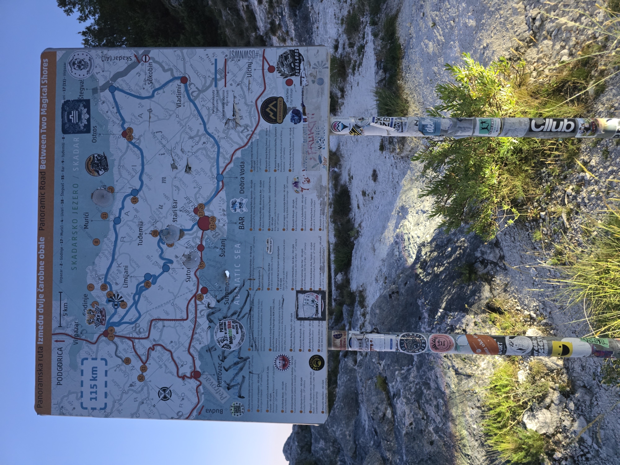
The image shows a large, detailed map mounted on a signpost in Godinje, Montenegro. The map is a panoramic route between two magical shores, featuring the Skadarsko Jezero (Lake Skadar) and the Adriatic Sea. It displays roads, cities, towns, points of interest like historical sites and monasteries, and topographical features. The signpost is situated in a rocky, outdoor environment with sparse vegetation, suggesting a mountainous or hilly area. The signpost itself is heavily decorated with numerous stickers, indicating it is a popular spot for visitors. The map is primarily in Montenegrin, with some English text. The lighting suggests it is either early morning or late afternoon.
transactions
revenues
stakers
Earliest
Latest
Highest stake
No transactions found