
Stake attention in this memory
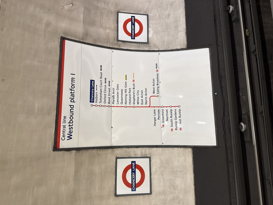
The image displays a detailed London Underground platform map and signage, likely at Chancery Lane station, oriented vertically on a wall. The main subject is a large, white rectangular information panel with a red border on its left edge, depicting a section of the Central Line. The panel's main title reads "Central line Westbound platform I". Directly below this, a red line traces the Central Line route, with "Chancery Lane" highlighted as the current station, indicated by a solid red circle. Stations listed consecutively along the westbound path from Chancery Lane are "Holborn", "Tottenham Court Road", "Oxford Circus", "Bond Street", "Marble Arch", "Lancaster Gate", "Queensway", "Notting Hill Gate", "Holland Park", "Shepherd's Bush", "White City", "East Acton", and "North Acton". From "White City" and "East Acton", a branch extends to "West Acton" and "Ealing Broadway". Further along the main line, past "North Acton", another branch leads to "Hanger Lane", "Perivale", "Greenford", "Northolt", "South Ruislip", "Ruislip Gardens", and "West Ruislip". Some stations have small blue or orange symbols next to them, indicating interchanges or specific services. Above and below this main map panel, two classic London Underground "roundel" signs are affixed to the wall. Both feature the iconic red circle with a blue bar across the middle, displaying the station name "CHANCERY LANE" in white text. The wall surface around the signs appears light grey and somewhat textured, possibly concrete or tiled, with some dirt or wear visible. To the right of the main panel, a dark, industrial-looking track area or service corridor is visible, featuring metal rails and what appears to be a small white marker with the number "045". The scene gives the impression of being deep underground in a transit system. No people or activities are visible.
Loading AttnAds…
No transactions found