
Sign in
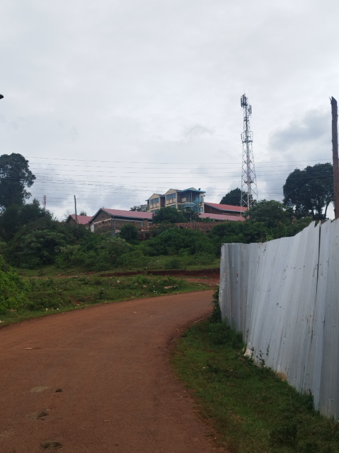
The image shows a dirt road in Nyeri, Kenya, at the coordinates -0.425 latitude and 36.962 longitude. The road curves to the left and is flanked by a corrugated metal fence on the right. There are buildings and a cell phone tower in the distance. The sky is overcast and gray. There are no people visible in the scene. The road is dry and dusty. The vegetation surrounding the road is sparse and consists mostly of grass and shrubs. The buildings in the distance appear to be residential. The cell phone tower is tall and slender, with a white structure at the top. There is a small amount of trash on the ground near the road. The scene is quiet and tranquil.
Kanjes

May 8, 2025, 1:18 PM

Nyeri, Kenya

Stake attention in this memory

peaceful
rural
tranquil
serene
unassuming

The image shows a dirt road in Nyeri, Kenya, at the coordinates -0.425 latitude and 36.962 longitude. The road curves to the left and is flanked by a corrugated metal fence on the right. There are buildings and a cell phone tower in the distance. The sky is overcast and gray. There are no people visible in the scene. The road is dry and dusty. The vegetation surrounding the road is sparse and consists mostly of grass and shrubs. The buildings in the distance appear to be residential. The cell phone tower is tall and slender, with a white structure at the top. There is a small amount of trash on the ground near the road. The scene is quiet and tranquil.

Loading AttnAds…

transactions
revenues
stakers
Earliest
Latest
Highest stake

No transactions found
More from this user

More from Nyeri

Kanjes

May 8, 2025, 1:18 PM

Nyeri, Kenya

Licensed under Creative Commons Attribution 4.0 International License. You are free to share and adapt this content with proper attribution.