Stake attention in this memory
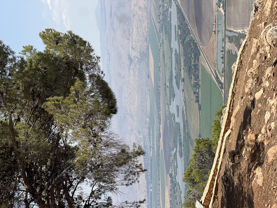
The image displays a panoramic landscape view from a elevated position, specifically overlooking the Hula Valley within the geographical area associated with the Mevoot HaHermon Regional Council in Northern Israel. In the foreground, the ground is composed of reddish-brown earth and scattered rocks, partially shaded by the dense canopy and branches of a large pine tree that occupies the upper left and top of the frame. The pine tree features numerous green needles and visible cones. A low, stacked stone wall, possibly part of a retaining structure or lookout barrier, runs horizontally across the lower left midground. No individuals are present. The midground reveals an expansive, flat valley characterized by large patches of varied agricultural fields, exhibiting shades of green and brown. Interspersed within the fields are several irregular water bodies, appearing as small lakes or ponds, some containing vegetated islands or reed beds. A narrow, unpaved road or path traverses through the fields. Towards the lower right, two distinct rectangular water reservoirs are visible. In the background, a series of distant, hazy, and undulating mountains or hills rise under a clear, light blue sky with minimal scattered white clouds. The overall environment is a natural and cultivated landscape under bright daylight conditions.
Loading AttnAds…
No transactions found