
Stake attention in this memory
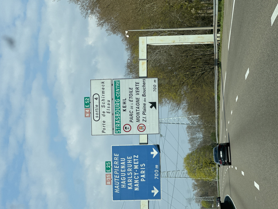
The image depicts a multi-lane highway in the vicinity of Strasbourg, France, under a partially cloudy sky. The perspective is from a vehicle moving forward on the highway. Two large overhead gantry-mounted road signs are prominent. The blue sign on the left indicates routes "A 35 E 25" and destinations "HAUTEPIERRE", "HAGUENAU", "KARLSRUHE", "NANCY-METZ", and "PARIS," with two downward arrows indicating these directions are 700 meters ahead. The white sign on the right, topped with "N 4 E 52," indicates "sortie 4" for "Porte de Schirmeck" and "Elsau." A green bar within this sign reads "STRASBOURG-CENTRE," with further destinations "KEHL," "PARC DE L'ÉTOILE," "MONTAGNE VERTE," and "Z.I. Plaine des Bouchers." This right sign also displays a 6-tonne weight restriction for trucks and a general commercial vehicle restriction symbol, with a downward-right arrow indicating these directions are also 700 meters ahead. The asphalt highway has white dashed lane markings. A black sedan is visible in the middle lane ahead, traveling in the same direction. The highway is flanked by trees, some showing early spring foliage, with a metal guardrail present on the right side. Several large lattice-style electricity transmission towers are visible in the background to the left of the highway. A light pole with a mounted camera or sensor is visible on the right shoulder of the highway, near the support structure for the right sign.
Loading AttnAds…
No transactions found