Stake attention in this memory
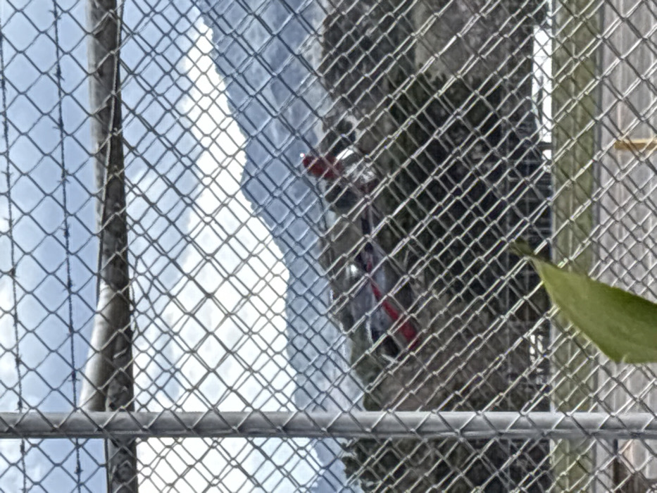
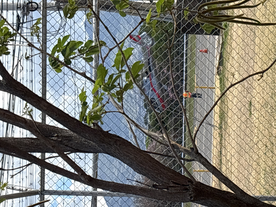
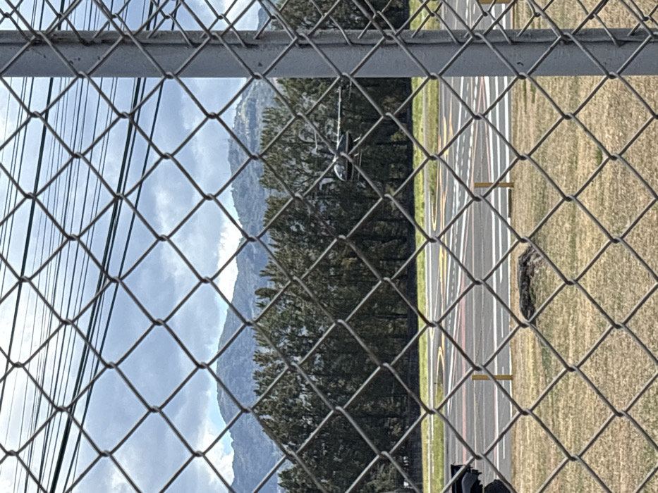
The image presents an outdoor scene viewed through a galvanized chain-link fence with a visible metal support post on the right. In the immediate foreground, a patch of dry, yellowish-brown grass covers the ground, featuring a dark, irregularly shaped object, possibly a tree stump or rock, in the lower-mid frame. Beyond the fence and grass, an asphalt paved surface is visible, marked with distinct aviation symbols including yellow, red, and white lines, dashed markings, and circular patterns, consistent with a helipad or small airstrip. Several yellow bollards or ground markers are also present on the paved area. A dark-colored helicopter, appearing black or very dark blue, is partially visible above this paved surface in the midground, with its cockpit, fuselage, and tail boom discernible. Its main rotor blades are slightly blurred, suggesting either motion or a shallow depth of field. A dense line of tall, dark green coniferous trees forms a natural barrier behind the airfield. In the background, a range of mountains stretches across the horizon, some densely forested, others appearing more rugged. One prominent mountain peak, visible towards the upper-right, is topped with several distinct radio or communication towers. The sky above is overcast, filled with various shades of grey and white clouds. Multiple dark power lines or utility cables run horizontally across the upper portion of the frame, behind the fence. This scene is located within the San José metropolitan area of Costa Rica, specifically at or adjacent to the Tobías Bolaños International Airport (SYQ) in Pavas, San José, consistent with the aviation infrastructure and the distinctive mountainous backdrop, including peaks with communication towers common to the Central Valley.
No transactions found