
Sign in
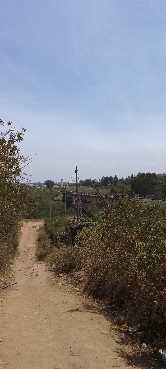
The image captures a sunlit outdoor landscape, likely in a rural or semi-rural setting. A light brown, unpaved dirt path, appearing well-trodden, begins in the immediate foreground and gently curves towards the left, leading into the midground. The path is flanked on both sides by dense, dry-looking bushes and vegetation, some with green leaves, others appearing brown and brittle. On the left side, close to the viewer, a bush with a few sparse branches and small purple flowers or buds is visible.

In the midground, the path continues, and beyond the dense shrubbery, a concrete or stone bridge comes into view. This bridge, stretching across the frame, carries what appear to be railway tracks with wooden sleepers and metal rails. Several utility poles, either wooden or concrete, are strategically placed along the landscape, with wires running between them, extending towards the bridge and beyond. Beneath the bridge, the ground appears lower, possibly indicating a dry riverbed or a depression, also covered in sparse, dry vegetation.

The background features a horizontal line of trees and more distant greenery, suggesting a continuation of the natural landscape. To the far left in the background, a building with a distinct reddish or pinkish roof is partially visible. Further to the right, a tall, slender structure, resembling a water tower or a telecommunication tower, stands prominently against the sky.

The sky occupies the upper half of the image, displaying a clear, bright light blue hue with only very faint, almost imperceptible wisps of white clouds, indicating a clear day. The overall impression is one of brightness and dryness, consistent with warm weather and potentially a dry season. No specific human activity is visible, and there is no discernible text within the image.
joes_Wesh

Feb 6, 2026, 10:25 AM

Ngong ward, Kenya

Stake attention in this memory

Serenity
Isolation
Journey
Dryness
Remoteness

The image captures a sunlit outdoor landscape, likely in a rural or semi-rural setting. A light brown, unpaved dirt path, appearing well-trodden, begins in the immediate foreground and gently curves towards the left, leading into the midground. The path is flanked on both sides by dense, dry-looking bushes and vegetation, some with green leaves, others appearing brown and brittle. On the left side, close to the viewer, a bush with a few sparse branches and small purple flowers or buds is visible. In the midground, the path continues, and beyond the dense shrubbery, a concrete or stone bridge comes into view. This bridge, stretching across the frame, carries what appear to be railway tracks with wooden sleepers and metal rails. Several utility poles, either wooden or concrete, are strategically placed along the landscape, with wires running between them, extending towards the bridge and beyond. Beneath the bridge, the ground appears lower, possibly indicating a dry riverbed or a depression, also covered in sparse, dry vegetation. The background features a horizontal line of trees and more distant greenery, suggesting a continuation of the natural landscape. To the far left in the background, a building with a distinct reddish or pinkish roof is partially visible. Further to the right, a tall, slender structure, resembling a water tower or a telecommunication tower, stands prominently against the sky. The sky occupies the upper half of the image, displaying a clear, bright light blue hue with only very faint, almost imperceptible wisps of white clouds, indicating a clear day. The overall impression is one of brightness and dryness, consistent with warm weather and potentially a dry season. No specific human activity is visible, and there is no discernible text within the image.

Loading AttnAds…

transactions
revenues
stakers
Earliest
Latest
Highest stake

No transactions found

More from this user

More from Ngong ward

joes_Wesh

Feb 6, 2026, 10:25 AM

Ngong ward, Kenya

Licensed under Creative Commons Attribution 4.0 International License. You are free to share and adapt this content with proper attribution.