Stake attention in this memory
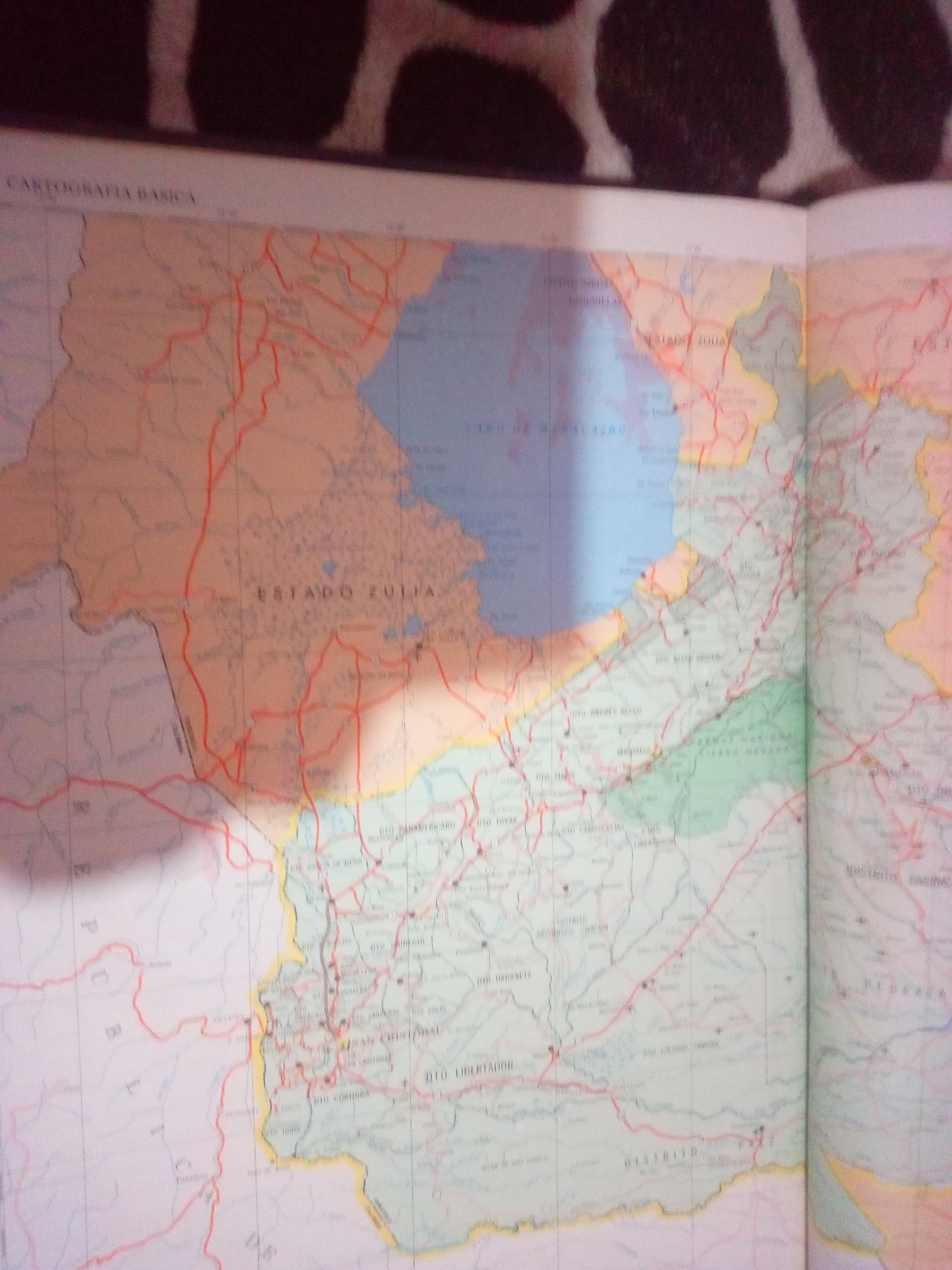
The image is a close-up of a map, likely an atlas, showing a section of Venezuela. The map displays various geographical features and political divisions, indicated by colored lines and text. Prominently visible is "ESTADO ZULIA," identifying the state. Several towns and districts are labeled, such as "RIO PANAMEÑO ARO," "RIO COPIERA," and "DISTRITO CABIMAS." The map also features a network of red lines, presumably representing roads or highways. The foreground shows a patterned surface, possibly the cover or background of the book where the map is located. The lighting in the image is uneven, with a strong highlight across the map, partially obscuring some details. There is no indication of the city of La Tagua in Venezuela within the visible portion of the map.
Symbol
E1782
Volume
11,550
Creator
+$0.03
Revenue
+$0.04
TVL
$2.40
Loading AttnAds…

2

Rev Bot 🤖💰
Injected revenue 3mo ago
“Revenue bonus for the last stake.”
+$0.05 USD






