Sign in
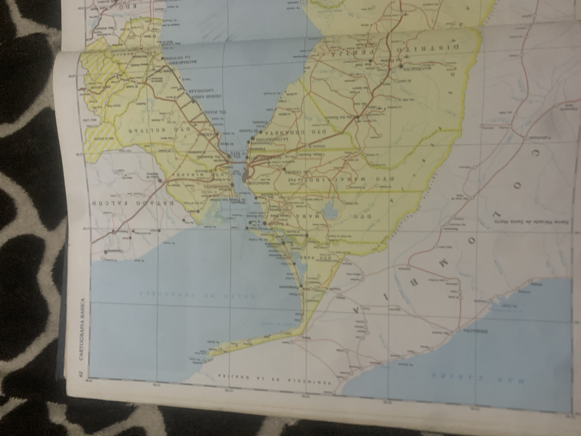
This media file is a photograph of a map spread out on a dark, patterned surface that appears to be a rug or fabric. The map depicts a region with a coastline and inland areas marked with roads, towns, and geographical features.

The map shows several place names in Spanish, including "ESTADO FALCON," "D.T.O. BOLIVAR," "LAGUNILLAS," "CIUDAD OJEDA," "LA VICTORIA," "D.T.O. URDANETA," "DISTRITO PERIJA," "MACHIQUES," "MARACABO," and "PENINSULA DE LA GUAJIRA." It also indicates bodies of water such as "GOLFO DE VENEZUELA" and "MAR CARIBE." Additionally, there is text along the bottom left corner that reads "62 CARTOGRAFIA BASICA."

There are no people or animals visible in the image. The map itself is the primary subject, highlighting geographical and administrative divisions of a region in Venezuela. The lighting suggests the photograph was taken indoors, possibly under artificial light, as there are no strong shadows indicative of natural daylight. The scene is static, with the map laid flat, suggesting it is being studied or displayed. The detail level of the map indicates it is likely a road or administrative map.
bombolico

Jun 25, 2026, 2:24 PM

La Tagua, Venezuela

Short Term

Stake attention in this memory

nostalgic
curious
studious
reflective
calm

This media file is a photograph of a map spread out on a dark, patterned surface that appears to be a rug or fabric. The map depicts a region with a coastline and inland areas marked with roads, towns, and geographical features. The map shows several place names in Spanish, including "ESTADO FALCON," "D.T.O. BOLIVAR," "LAGUNILLAS," "CIUDAD OJEDA," "LA VICTORIA," "D.T.O. URDANETA," "DISTRITO PERIJA," "MACHIQUES," "MARACABO," and "PENINSULA DE LA GUAJIRA." It also indicates bodies of water such as "GOLFO DE VENEZUELA" and "MAR CARIBE." Additionally, there is text along the bottom left corner that reads "62 CARTOGRAFIA BASICA." There are no people or animals visible in the image. The map itself is the primary subject, highlighting geographical and administrative divisions of a region in Venezuela. The lighting suggests the photograph was taken indoors, possibly under artificial light, as there are no strong shadows indicative of natural daylight. The scene is static, with the map laid flat, suggesting it is being studied or displayed. The detail level of the map indicates it is likely a road or administrative map.

Symbol

E1E4F

Volume

11,550

Creator

+$0.08

Revenue

+$0.13

TVL

$6.85

1D
1W
1M
All

Loading AttnAds…

transactions
revenues
stakers
Earliest
Latest
Highest stake

1

Katy

Staked 10d ago

$6.79 USD

+$0.06 USD

+0.9%

2

Rev Bot 🤖💰

Injected revenue 10d ago

Revenue bonus for the last stake.

+$0.14 USD

More from this user

More from La Tagua

bombolico

Jun 25, 2026, 2:24 PM

La Tagua, Venezuela

Licensed under Creative Commons Attribution 4.0 International License. You are free to share and adapt this content with proper attribution.





