Stake attention in this memory
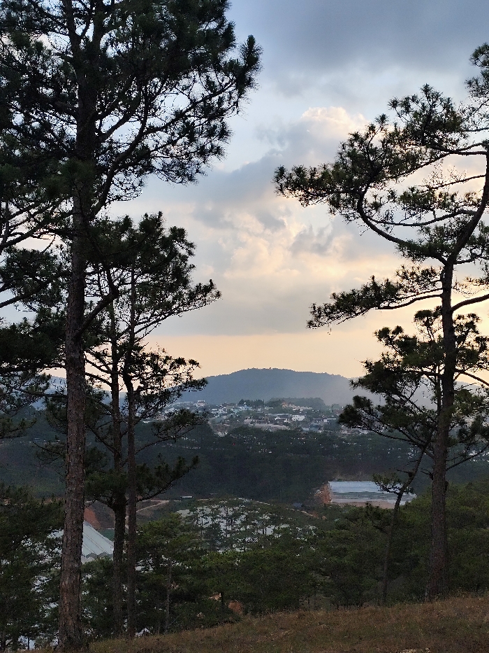
The image displays a panoramic view of the Lạc Dương region in Vietnam, observed from an elevated position. The foreground features dry, sparse brown grass and two tall pine trees, one on the left and one on the right, framing the central vista. These trees have dark, textured trunks and dense green needles. Additional smaller pine trees are scattered down the immediate slope. In the midground, a valley or hillside town is visible, characterized by numerous white-roofed buildings nestled among dark green foliage. Below this cluster, an expanse of what appears to be agricultural structures, possibly greenhouses, with reflective white or transparent roofs, occupies a significant area. A winding, unpaved road is discernible amidst these structures. The background consists of dark, undulating hills and mountains that rise behind the settlement. The sky above is partially covered by clouds, displaying variations of light blue, grey, and subtle hues of orange-yellow near the horizon, consistent with late afternoon or early evening lighting conditions. No individuals or specific actions are discernible within the frame.
Symbol
E2002
Volume
0
Creator
+$0.01
Revenue
+$0.00
TVL
$0.00
Loading AttnAds…
2
Rev Bot 🤖💰
Injected revenue 3mo ago
“Revenue bonus for the last stake.”
+$0.04 USD