Sign in
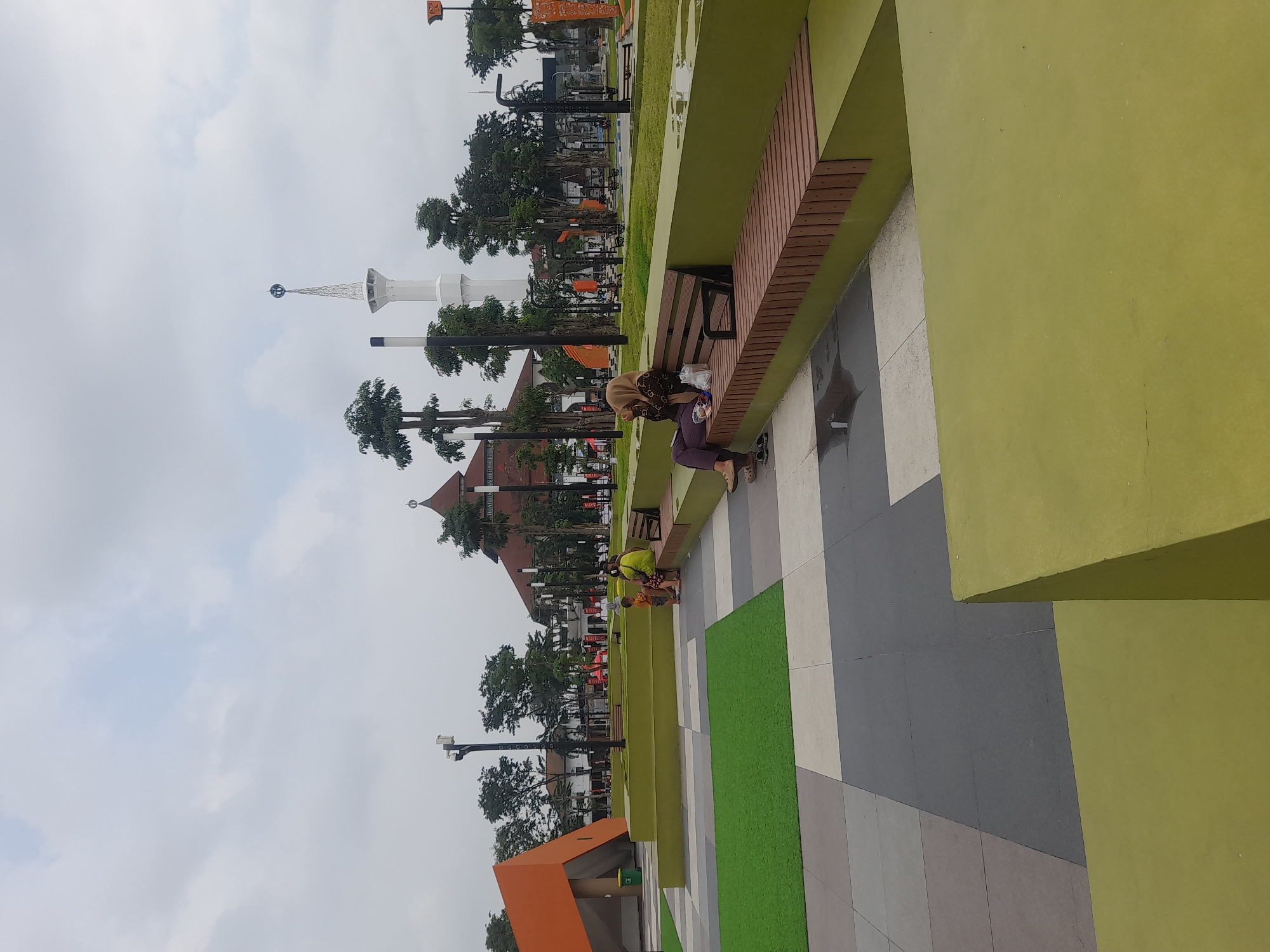
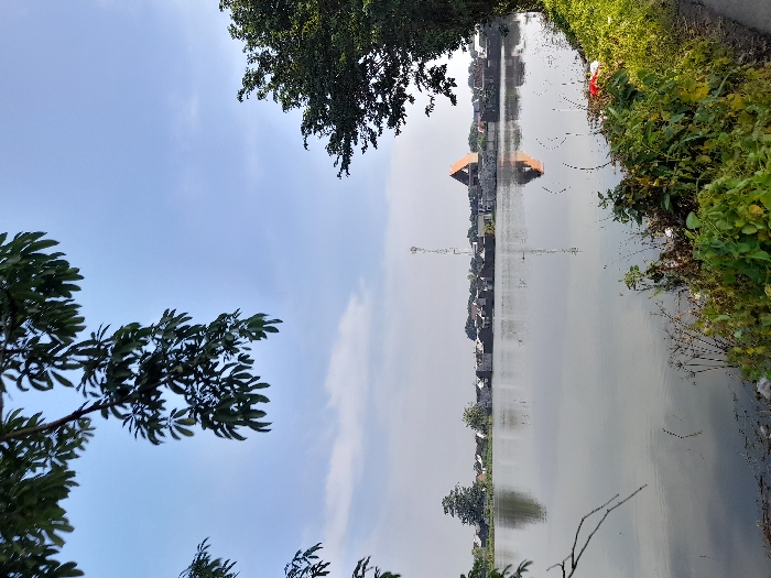
The scene shows a flooded area, likely a rice paddy, with the water reflecting a clear blue sky and white clouds. The flooded area is located in the city of Kecamatan Candi, Indonesia, at the coordinates -7.487 latitude and 112.739 longitude.  There is vegetation along the edge of the water, with a tall, thin, white structure visible in the distance.  A few trees are visible in the distance on the opposite side of the flooded area. There are no people in this image.
Mr. President

Mar 19, 2025, 12:51 AM

Kecamatan Candi, Indonesia

Stake attention in this memory

Tranquil
Peaceful
Serene
Calm
Reflective

The scene shows a flooded area, likely a rice paddy, with the water reflecting a clear blue sky and white clouds. The flooded area is located in the city of Kecamatan Candi, Indonesia, at the coordinates -7.487 latitude and 112.739 longitude. There is vegetation along the edge of the water, with a tall, thin, white structure visible in the distance. A few trees are visible in the distance on the opposite side of the flooded area. There are no people in this image.

Loading AttnAds…

transactions
revenues
stakers
Earliest
Latest
Highest stake

No transactions found

More from this user

More from Kecamatan Candi

Mr. President

Mar 19, 2025, 12:51 AM

Kecamatan Candi, Indonesia

Licensed under Creative Commons Attribution 4.0 International License. You are free to share and adapt this content with proper attribution.