Stake attention in this memory
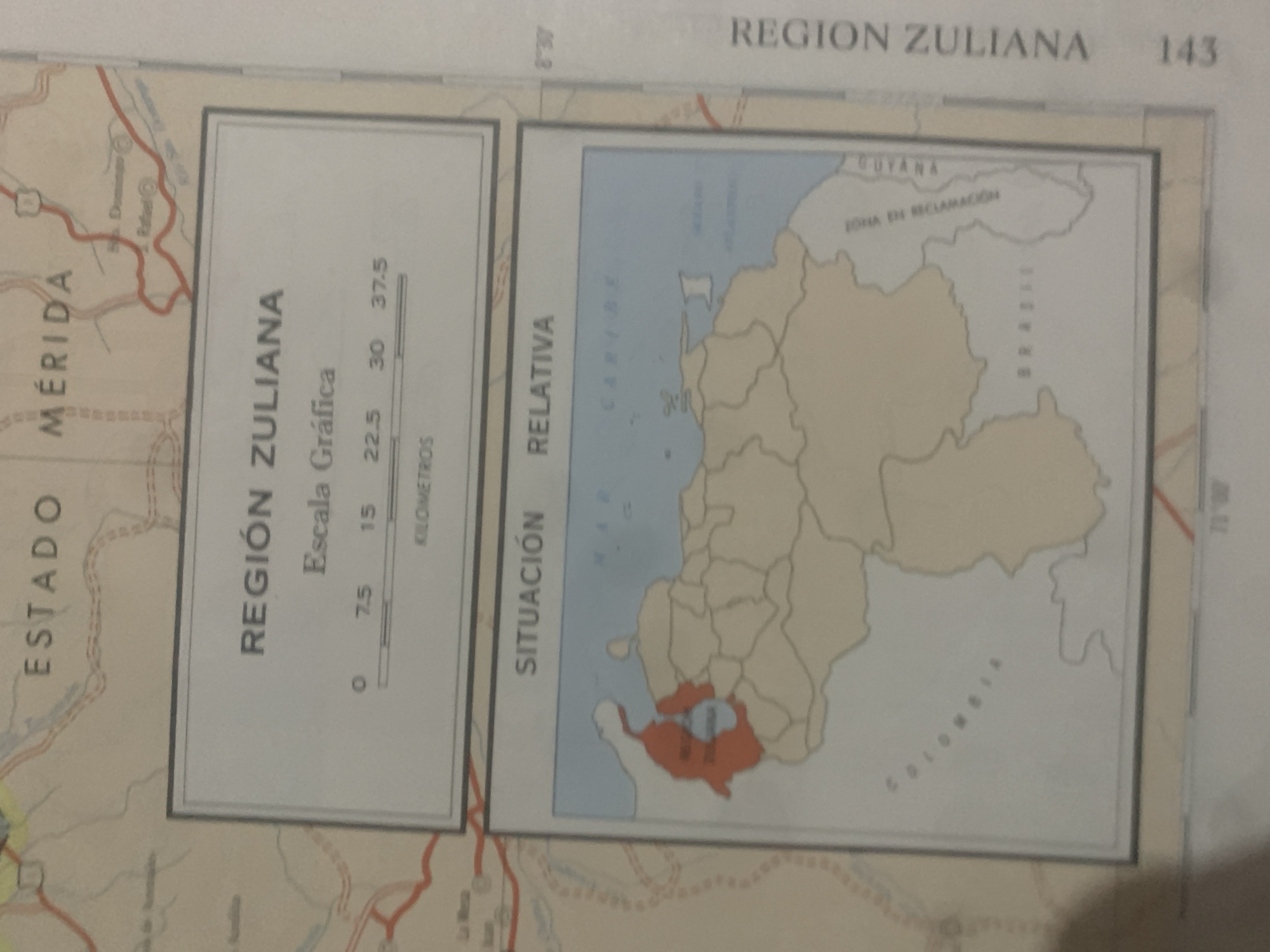
This is a photograph of a map that appears to be from a book or atlas. The map shows geographical regions of Venezuela, with a focus on the "Región Zuliana" and the "Estado Mérida." The map is divided into two main sections. The left section is a detailed map of the "Estado Mérida," with roads and geographical features. The right section is a smaller inset map that shows the "Región Zuliana" in relation to surrounding areas, including the "Caribe" Sea, "Guyana," and a "Zona en Reclamación." The text "SITUACIÓN RELATIVA" is printed vertically on the left side of this inset map. Visible text includes place names such as "Mérida," "Zuliana," "Caribe," and "Guyana." There is also a scale bar labeled "Escala Gráfica" with distances in "Kilometros." The title "REGION ZULIANA" is visible at the top of the image, along with the number "143." The map itself is oriented with the top of the page facing upwards, though the map content is rotated clockwise. There are no people or specific events depicted, but rather a static representation of geographical information. The lighting suggests the photo was taken in a well-lit indoor environment, possibly a library or study. The location context is given as La Tagua, Venezuela, though this specific location is not explicitly labeled on the visible portions of the map.
Symbol
E3D2E
Volume
11,550
Creator
+$0.03
Revenue
+$0.06
TVL
$2.42
Loading AttnAds…

2

Rev Bot 🤖💰
Injected revenue 2mo ago
“Revenue bonus for the last stake.”
+$0.06 USD





